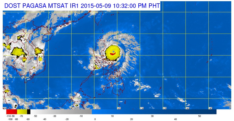
Pagasa satellite image as of 10:32 PM | Saturday, May 9, 2015
Typhoon ‘Dodong’ (Nuol) has intensified as it continues to move towards the eastern coast of Northern Luzon, the weather bureau said late Saturday.
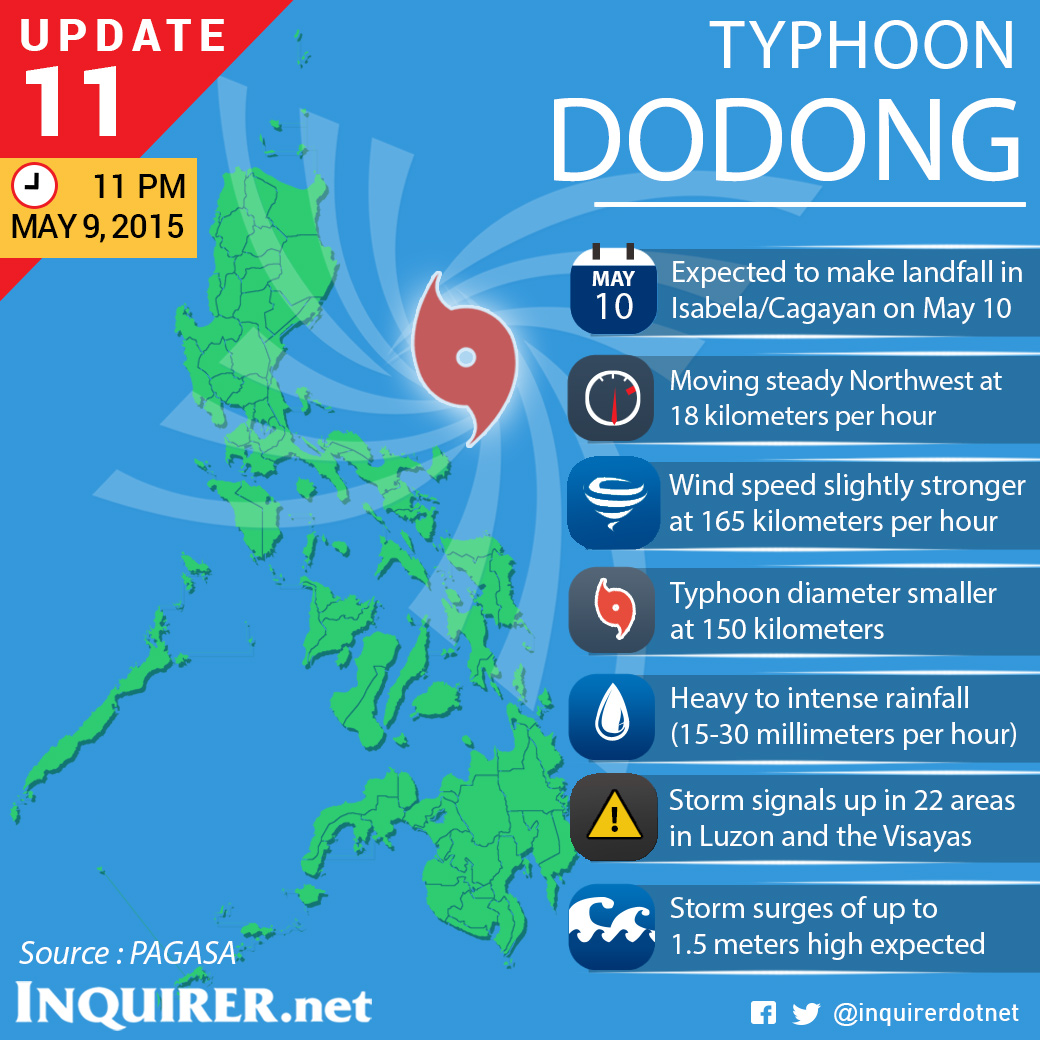
The Philippine Atmospheric Geophysical Astronomical Services Association (Pagasa) said in its 11 pm bulletin it is expected to make landfall over the coast of Cagayan area by Sunday afternoon (May 10) and will exit the landmass via Gonzaga, Cagayan, by Sunday night.
It will exit the Philippine Area of Responsibility by Tuesday morning (May 12).
Pagasa also warned residents in low lying and mountainous areas of the provinces with public storm warning signals against possible flashfloods and landslides.
Storm surges of up to 1.5 meters are possible over the eastern coast of Isabela and Cagayan, Pagasa said.
Fisherfolks are advised not to venture out over the eastern seaboard of Visayas.
It is advised to refrain from outdoor activities particularly along beaches of the eastern section on Sunday.
At 10 pm Saturday, the center of Typhoon “Dodong” was spotted at 310 km East Northeast of Infanta, Quezon or at 305 East Baler, Aurora.
It has maximum sustained winds of 165 kph near the center and gustiness of up to 200 kph.
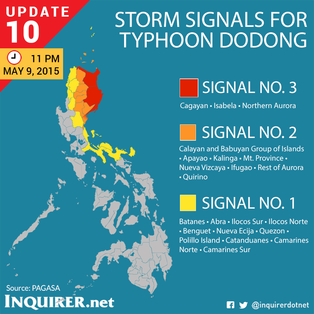
Signal number 3 is up in Cagayan, Isabela and Northern Aurora.
Signal number 2 is raised in Calayan and Babuyan Group of Islands, Apayao, Kalinga, Mt. Province, Nueva Vizcaya, Ifugao, rest of Aurora and Quirino.
Signal number 1 is up in Batanes, Abra, Ilocos Sur, Ilocos Norte, Benguet, Nueva Ecija, Quezon including Polillo Island, Camarines Norte, Camarines Sur and Catanduanes.