
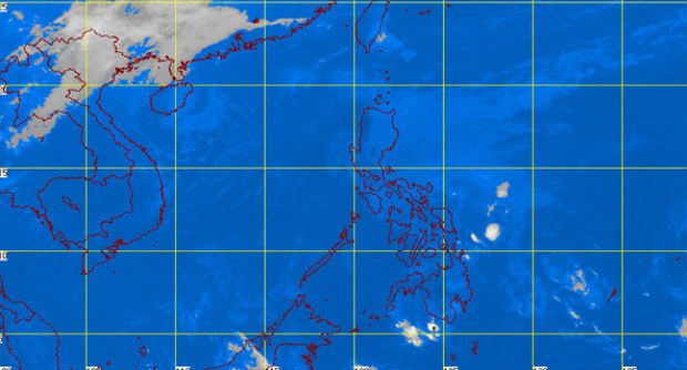
MT Satellite image February 13, 2015 9:01 a.m. Screengrab from https://pagasa.dost.gov.ph/index.php
MANILA, Philippines — A low pressure area has formed outside the Philippine area of responsibility (PAR), the state weather bureau said Friday.
The LPA was last observed 2,000 kilometers east of Mindanao and is expected to enter the PAR by Sunday if it will not dissipate, Shaira Nonot of the Philippine Atmospheric, Geophysical and Astronomical Services Administration said.
The weather disturbance is still too far to affect the country but it could intensify further as it remains at sea, she added.
A tail-end of a cold front is affecting the eastern section of Luzon, Pagasa’s weather bulletin said.
The regions of Cagayan valley, Cordillera, Bicol and the provinces of Aurora and Quezon will experience cloudy skies with light to moderate rains and isolated thunderstorms.
Metro Manila and the rest of the country will have partly cloudy to cloudy skies with isolated rainshowers or thunderstorms.
Moderate to strong winds blowing from the northeast will prevail over Luzon and its coastal waters will be moderate to rough, Pagasa said.
Elsewhere, winds will be light to moderate coming from the northeast to east with slight to moderate seas.