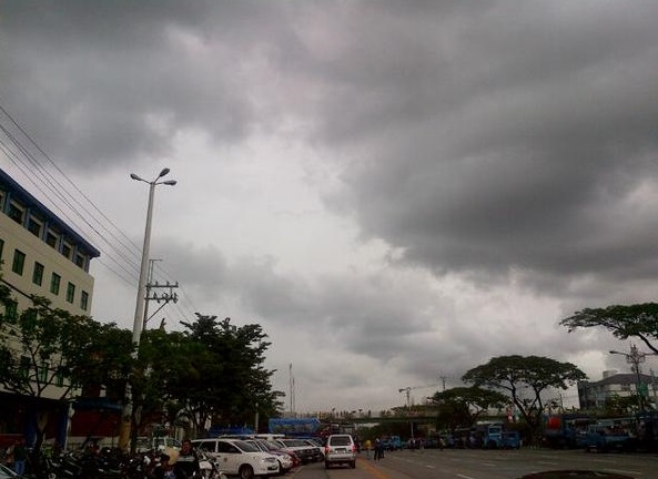
MANILA, Philippines–What was tropical storm “Seniang” is now a low pressure area (LPA) that is bringing cloudy skies over much of the country on the first day of 2015.
The storm that left at least 53 dead in the country weakened to an LPA Wednesday evening, according to the Philippine Atmospheric, Geophysical and Astronomical Services Administration (Pagasa).
In its 5 a.m. forecast Thursday, Pagasa said the LPA was last spotted at 210 kilometers south-southeast of Puerto Princesa.
Meantime, the tail end of a cold front is affecting the Bicol Region while the northeast monsoon (amihan) is blowing cool winds over Central and Northern Luzon, Pagasa added.
With its close proximity to the LPA, southern Palawan will experience cloudy skies with moderate to heavy rainshowers or thunderstorms.
Bicol, Quezon and the rest of Mimaropa (Mindoro, Marinduque, Romblon and Palawan) will experience cloudy skies with light to moderate rainshowers or thunderstorms.
Cagayan Valley and Cordillera will be cloudy with light rains while Metro Manila and the rest of Luzon would be partially cloudy with light rainshowers.
Visayas and Mindanao, which bore the brunt of “Seniang,” will have partially cloudy skies with isolated rains.
