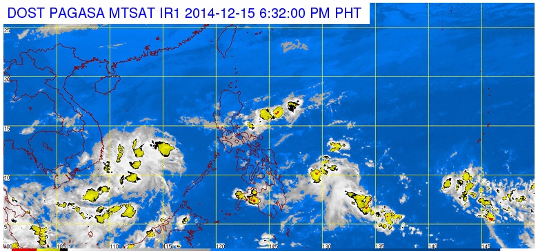
Pagasa satellite image as of 6:32 PM, Monday, December 15, 2014
MANILA, Philippines — A low pressure area was formed inside the Philippine area of responsibility on Monday afternoon, the state weather bureau said.
The LPA was last observed 780 kilometers east of Mindanao at 4 p.m., the Philippine Atmospheric Geophysical and Astronomical Services Administration said.
Buddy Javier of Pagasa said the LPA has a “slim chance” of becoming a cyclone, but they would still continue to monitor it.
A tail-end of a cold front is affecting Bicol region, while the northeast monsoon is affecting northern, Central and the rest of Southern Luzon.
“Bicol region, Caraga, Davao and the provinces of Aurora and Quezon will experience cloudy skies with light to moderate rainshowers and thunderstorms,” Pagasa said.
Metro Manila, Rizal, Laguna, the rest of central Luzon and the regions of Cagayan Valley, Cordillera and Ilocos will have cloudy with light rains.
The rest of the country will be partly cloudy to cloudy with isolated rainshowers or thunderstorms.
Moderate to strong winds blowing from the northeast will prevail over Luzon and the coastal waters along these areas will be moderate to rough.
Elsewhere, winds will be light to moderate coming from the east to northeast with slight to moderate seas.