The LPA outside the Philippine area of responsibility is expected to dissipate due to the presence of vertical wind shear, weather forecaster Aldczar Aurelio of the Philippine Atmospheric Geophysical and Astronomical Services Administration was quoted as saying by Panahon TV on Twitter.
The weather disturbance was formed in the same path as “Ruby” (international name Hagupit), which slammed mostly Eastern Visayas over the weekend and left the country on Wednesday night.
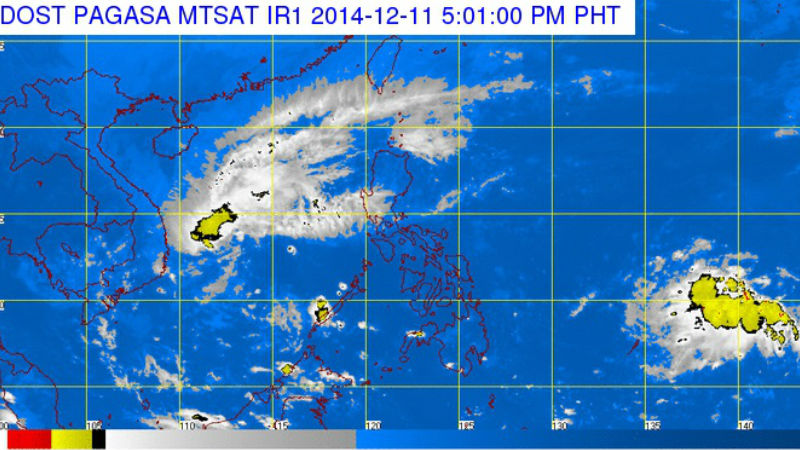
The LPA was last observed 1,390 kilometers east of Mindanao.
The northeast monsoon, meanwhile, continues to affect Northern Luzon.
“The regions of Cagayan Valley, Cordillera and Ilocos will experience cloudy skies with light rains,” Pagasa said.
Metro Manila and the rest of the country will be partly cloudy to cloudy with isolated rainshowers or thunderstorms.
Moderate to strong winds blowing from the northeast to east will prevail over Luzon and Visayas and the coastal waters along these areas will be moderate to rough. Elsewhere, winds will be light to moderate coming from the northeast to east with slight to moderate seas.
RELATED STORIES
Potential typhoon brewing in Ruby’s wake
New storm to be named ‘Seniang’