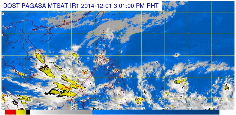
Screengrab from pagasa.dost.gov.ph
MANILA, Philippines — The state weather bureau is tracking a tropical depression over the Pacific Ocean that could enter the Philippine area of responsibility (PAR) by Friday.
The tropical depression was observed about 1,800 kilometers east of Mindanao, Jori Loiz, weather forecaster of the Philippine Atmospheric Geophysical and Astronomical Services Administration (Pagsasa) told INQUIRER.net midday Monday.
It intensified from a low pressure area on Monday morning. While over the sea, the tropical depression is likely to gain more strength.
“When it enters PAR it could be a tropical storm by then,” Loiz said.
Loiz said the tropical depression could potentially follow the track of super typhoon Yolanda (international name: Haiyan), the strongest storm of 2013.
Pagasa sees two scenarios, which would depend on the high pressure area located northeast of the Philippines.
If the storm moves, it could shift course and avoid landfall, similar to what happened to super typhoon “Ompong” (Vongfong). Ompong was the world’s strongest storm. It spared the Philippines by heading towards Japan shortly after entering thr PAR.
If the tropical depression does not move, the looming cyclone is likely to strike land and affect Visayas or Mindanao.
Up to two cyclones are expected in December, Pagasa earlier said.
Another low pressure area near Romblon dissipated Sunday afternoon.
RELATED STORY
Pagasa tracking LPA over Pacific