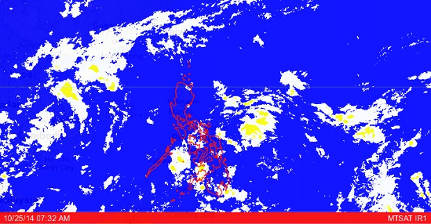
Project NOAH MTSAT image as of October 25, 2014, 7:32 AM. SCREENGRAB FROM https://noah.dost.gov.ph/
MANILA, Philippines – With the intertropical convergence zone still affecting Mindanao, the southern part of that region is expected to be rainy in the next three or four days.
The Philippine Atmospheric, Geophysical and Astronomical Services Administration (Pagasa) said that the amihan or northeast monsoon was prevailing over extreme Northern Luzon and was expected to be felt in the rest of Luzon when the tailend of a cold front affects the northern part of the country.
Pagasa forecaster Manny Mendoza said that the ITCZ over Mindanao was moving downward and could bring rains to the southern parts of the region until next Tuesday or Wednesday.
The ITCZ results from the convergence of tradewinds from the northern and southern hemispheres which creates a low pressure area causing precipitation or rain.
He pointed out that while the amihan was prevailing over extreme Northern Luzon, easterly winds from the Pacific Ocean were affecting Central and Southern Luzon, the Visayas, and most parts of Mindanao.
According to Pagasa’s forecast for Sunday, the ITCZ is expected to bring cloudy skies with light to moderate rainshowers and thunderstorms in the Davao, Caraga, and Soccsksargen regions.
Cagayan Valley will be partly cloudy to at times cloudy with isolated light rains while Metro Manila and the rest of the country are expected to be partly cloudy to cloudy with isolated rainshowers or thunderstorms.
Moderate to occasionally strong winds will prevail over Luzon and the Eastern Visayas, where coastal waters will be moderate to occasionally rough.
Elsewhere winds will be light to moderate with slight to moderate seas.