This image of Super Typhoon Vongfong using NASA’s Visible Infrared Imaging Radiometer Suite (VIIRS). AFP
MANILA, Philippines—Visayas and Mindanao are set to experience rains for the evening as converging winds meet up in the area bringing some precipitation, the weather bureau said.
In its 5 p.m. forecast, the Philippine Atmospheric, Geophysical and Astronomical Services Administration said the intertropical convergence zone affects Visayas and Mindanao.
Visayas, Zamboanga peninsula and the provinces of Cotabato and Palawan would experience cloudy skies with light to moderate rainshowers and thunderstorms.
Metro Manila and the rest of the country would be partly cloudy to cloudy with isolated rainshowers or thunderstorms.
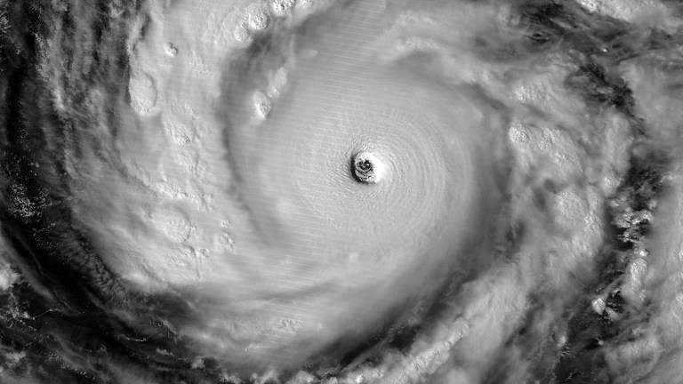
Also, Pagasa said that Typhoon “Ompong” was last spotted 866 kilometers east of Calayan, Cagayan packing maximum sustained winds of 205 kilometers per hour and gusts of 240 kph as it tracked a path going north at nine kph.
“Ompong” has weakened slightly from its winds of 215 kph and gusts of 250 kph from Thursday morning.
Pagasa said that “Ompong” would not have a direct effect on any part of the Philippine landmass.
RELATED STORIES
‘Ompong’ enters Philippines but won’t make landfall–Pagasa
Super Typhoon ‘Ompong,’ strongest this year, to spare PH