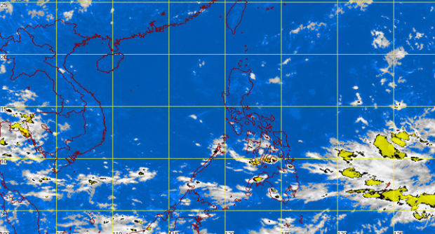
MT Satellite image September 30, 2014, 1:01 p.m. Screengrab from https://www.pagasa.dost.gov.ph/
MANILA, Philippines — A tropical storm over the Pacific Ocean could enter the Philippine area of responsibility by Friday if it continued its track.
The storm, with an international name Phanfone, could possibly enter PAR by Friday and exit on Sunday, state-run Panahon.TV said on Tuesday.
Once it enters PAR, it will be locally named “Neneng,” the 14th cyclone in the Philippines this year.
The storm has no direct effect on the country yet, but it is pulling winds from northwest, west and southwest, which has resulted to wind convergence in Eastern Visayas and Mindanao, Panahon.TV said.
As it remained at sea, Phanfone still has chances of intensifying into a typhoon.
The intertropical convergence zone will bring light to moderate rains and thunderstorms in Eastern Visayas, Northern Mindanao, Caraga and Davao.
Metro Manila and the rest of the country will experience fair weather and chances of localized thunderstorms.
Data from Panahon.TV said that five tropical cyclones hit the country in October last year. These were: Ramil, Santi, Tino, Urduja and Vinta, with the last two classified as typhoons.
RELATED STORIES
Cyclone spotted; to only skirt PAR
Rainy in Visayas, Mindanao on Tuesday