“Phanfone,” however, will only skirt the upper right corner of the PAR on its way to southern Japan, according to Philippine Atmospheric, Geophysical and Astronomical Services Administration (Pagasa) forecasters.
Forecaster Glaiza Escullar said Phanfone was some 2,900 kilometers east of southern Luzon, still way outside the PAR.
She said the cyclone was anticipated to enter the PAR by Saturday but “it will only linger for a day, passing through as it heads for Japan.”
She said that Phanfone, which will be renamed “Neneng” when it enters the PAR, will not have a direct effect on the country nor will it enhance the habagat, or southwest monsoon, due to its distance.
The Hawaii-based US Navy Joint Typhoon Warning Center said Phanfone was over the Pacific Ocean near Guam moving northwest at 22 kilometers per hour with maximum sustained winds of 65 kph and gusts of 83 kph.
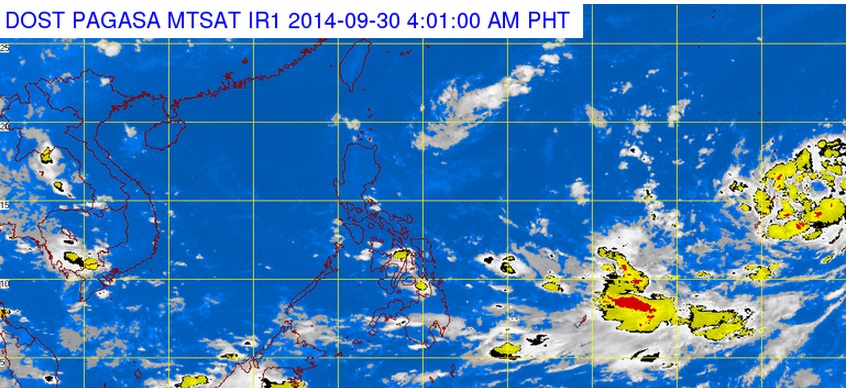
In Pagasa’s forecast for Tuesday, the monsoon prevailing over Mindanao will bring light to moderate rain showers and thunderstorms over eastern Visayas, Caraga and Davao.
Metro Manila and the rest of the country will be partly cloudy to cloudy with isolated rain showers or thunderstorms.
Light to moderate winds will prevail over the entire archipelago where coastal waters will be slight to moderate.