The earthquake struck at 7:19 a.m. (1919 GMT Monday) and occurred 96 kilometers (60 miles) southeast of Raoul Island in the Kermadecs, the US Geological Survey said, revising earlier parameters.
The epicenter was at a depth of 20 kilometers.
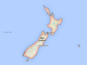
The largely uninhabited Kermadec Islands are located northeast of New Zealand’s North Island.
The quake was followed two minutes later by an aftershock with a magnitude of 6.3, USGS said.
The Hawaii-based Pacific Tsunami Warning Center said of the original quake that “no destructive, widespread tsunami threat exists based on historical earthquake and tsunami data.”
However, earthquakes of this size “sometimes generate local tsunamis that can be destructive along coasts located within a hundred kilometres of the earthquake epicentre,” it said.
New Zealand sits on the so-called “Ring of Fire,” the boundary of the Australian and Pacific tectonic plates, and experiences up to 15,000 tremors a year.
A shallow 6.3-magnitude quake devastated the New Zealand city of Christchurch in the South Island in February 2011, leaving 185 people dead.