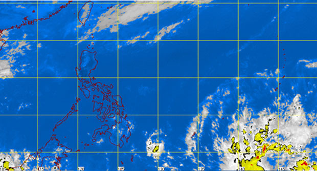
MANILA, Philippines—Tropical Storm “Peipah” (international name) is expected to enter the Philippine Area of Responsibility (PAR) on Sunday afternoon, the state weather bureau said Sturday.
Philippine Atmospheric Geophysical Astronomical Services Administration (Pagasa), in its latest weather bulletin, said that Peipah has maximum winds of 65 kilometers per hour and gustiness of up to 80 kilometers per hour. It is forecasted to move west northeast at 20 kph. At 10 a.m. today, it was estimated to be 1,470 km east of Southern Mindanao.
It said the approaching weather disturbance would be locally named “Domeng” as soon as it enters PAR.
The National Disaster Risk Reduction and Management Council on Friday said the direction of the tropical depression is the same as the path of typhoons Yolanda (Haiyan) and Pablo (Bopha).
Yolanda wreaked havoc in Visayas in 2013, while Pablo devastated the Davao region in 2012.
In an earlier interview with INQUIRER.net, Fernando Cada of Pagasa said that “all weather disturbances are a cause of worry but what is important is the preparation of the local government and coordination.”
RELATED STORIES
Tropical depression threatens to enter PH
Low pressure area forecast to enter PH Friday


