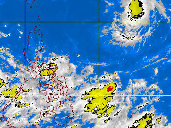
PAGASA-DOST MTSAT-EIR Satellite Image for 5 a.m., 09 September 2011
Tropical Storm “Nonoy” exited the Philippine area of responsibility (PAR) as quickly as it had swirled in, making no impact on the archipelago, the weather bureau said Thursday.
“Nonoy” exited at around 2 p.m. Thursday toward Japan, or four hours after it swirled in from the Pacific Ocean and broke through the fringes of the PAR east northeast of the archipelago.
It moved at a fast clip of 15 kilometers per hour.
“It had no effect on the archipelago. It was too far, and it’s not that strong,” said forecaster Jun Galang of the Philippine Atmospheric Geophysical and Astronomical Services Administration.
At 4 p.m. Thursday, Nonoy (international codename: Kulap) was packing maximum winds of 65 kilometers per hour, and gustiness up to 80 kph, some 1,140 km east northeast of Basco, Batanes.
By that time, it was closer to Japan, hovering some 500 kilometers east of Okinawa. It’s expected to be 420 km east of Okinawa Friday morning.
Nonoy was the first storm to cross the PAR this month.
The weather system, inter-tropical convergence zone, would bring cloudy skies with scattered rains and thunderstorms over central and southern Luzon, Visayas and Mindanao, Galang said.
The rest of Luzon will experience partly cloudy to cloudy skies with isolated rainshowers or thunderstorms.