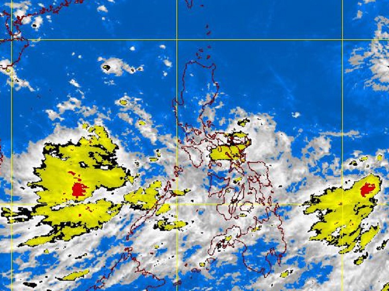
PAGASA-DOST MTSAT-EIR Satellite Image for 1 p.m., 08 September 2011
MANILA, Philippines – A tropical storm has entered the Philippine area or responsibility and was seen east-northeast of Northern Luzon, the Philippine Atmospheric, Geophysical and Astronomical Services Administration (Pagasa) said Thursday.
In its first weather bulletin, Pagasa said that the tropical storm named “Nonoy” (international name: Kulap), was seen 1,170 kilometers east-northeast of Basco, Batanes and was packing maximum sustained winds of 65 kilometers per hour near the center and gusts of up to 80 kph.
Nonoy is forecast to move northwestward at 15 kph.
No tropical storm warning has been raised, Pagasa said, adding that Nonoy was still too far to affect any part of the country.
By Friday morning, Nonoy is forecast to be 1,190 km northeast of Basco, Batanes.
But in a separate interview, Pagasa weather forecaster Mario Palafox said that Nonoy was expected to exit the Philippine area of responsibility by Thursday afternoon.
He added that no other weather disturbances were brewing within the country’s territory.
However, parts of the country will still experience cloudy skies and rains for the next two to three days due to the monsoon trough affecting the regions.
The monsoon trough is an extension of a low pressure area, Palafox said.
Central and Southern Luzon, Visayas and Mindanao will have mostly cloudy skies with scattered rainshowers and thunderstorms. The western section of Southern Luzon and Eastern Visayas will experience cloudy skies with widespread rains which may trigger flashfloods and landslides, Pagasa said in its weather forecast.
Meanwhile, the rest of Luzon will experience partly cloudy to cloudy skies with isolated rains and thunderstorms, the state-run weather bureau added.
First posted 11:34 am | Thursday, September 8th, 2011