LPA forecast to enter Philippines Monday
MANILA, Philippines—A low pressure area (LPA) is expected to develop and enter the Philippine Area of Responsibility (PAR) Monday, a few days after the Supertyphoon “Yolanda” (international name Haiyan) wreaked havoc across the country.
The Philippine Atmospheric Geophysical and Astronomical Services Administration (Pagasa) said during a briefing at the National Disaster Risk Reduction and Management Council (NDRRMC) Saturday noon that it sees the possible development of an LPA east of Mindanao by Monday.
The northwest monsoon is also expected to begin affecting the country once Yolanda has completely left the country.
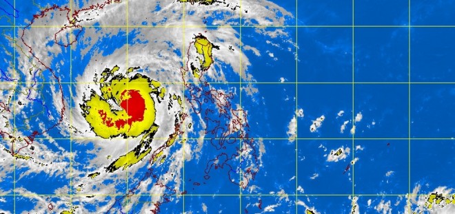
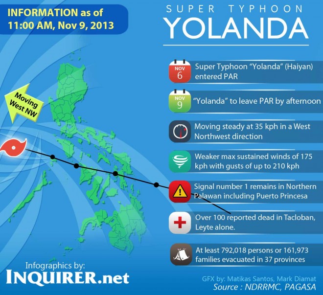
The 600 kilometer wide supertyphoon Yolanda, regarded by meteorologists as the strongest typhoon in recorded history, rampaged across provinces in the Visayas region so far leaving at least a hundred people dead.
Relief operations are underway as authorities mobilized Saturday to get resources and personnel to the worst hit areas.

