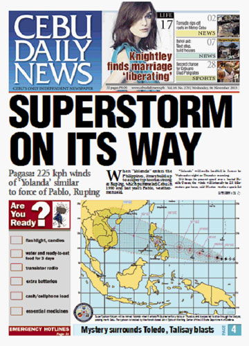
“Yolanda” will make landfall in Samar by Wednesday night or Thursday morning.
If it keeps its present speed over a heated Pacific Ocean, the winds will intensify to 225 kilometers per hour, said Mactan weather specialist Alfredo Quiblat, Jr. of the Philippine Atmospheric Geophysical and Astronomical Services Administration (Pagasa) Cebu.
With a day or two to prepare, residents in Cebu and the Visayas, are advised to take precautionary measures like stocking up on water and essential supplies good for three days, and to brace for flooding and landslides in hazardous areas. (See CDN’s Emergency Kit and Hotlines).
Yolanda, whose international name is “Haiyan,” will affect Southern Luzon, the Visayas and Northern Mindanao especially Samar and Leyte provinces.
The last supertyphoon to hit Cebu was November 1990’s Ruping with over 200 kph winds.
“Unlike earthquakes, we have ample time to prepare for a typhoon,” said Neil Sanchez, head of the Cebu provincial disaster office.
He said Gov. Hilario Davide III would assess today, after consulting Pagasa again for a more precise forecast, if classes in public schools should be suspended.
A recommendation was given by Schools Division Superintendent Dr. Arden Monisit yesterday to suspend classes on Thursday and Friday in Cebu province, especially in the mountain and coastal barangays.
The weather forecast is dire news for Bohol, where thousands of families are still living in tents after the Oct. 15 earthquake devastated their houses.
NORTH, METRO CEBU
“Yolanda” could affect northern Cebu and Metro Cebu, said Engr. Oscar Tabada, OIC Director of Pag-asa Visayas, in a briefing of the Provincial Disaster and Risk Reduction Management Council.
He said Cebu will experience light to moderate rain on Thursday, with heavy to intense rain on Friday when the typhoon makes landfall in Eastern Visayas with center winds of 185 kph.
Tabada said a wide rain band of 1,000 kilometers in diameter would dump a large volume of rain that could cause flooding and landslides.
Pagasa does not have an official category called “supertyphoon” since it considers any weather disturbance over 118 kph simply as a typhoon.
The term came into more popular use after November 1990’s typhoon Ruping, which knocked down power lines, ripped off roofs, closed the airport and the Mandaue-Mactan Bridge and left the province without electricity for almost a month. Over 30 ships sank in the Cebu harbor alone.
“Supertyphoon” was also the term used by the Hawaii-based Joint Typhoon Warning Center about the coming storm.
“Due to very favorable environmental conditions, rapid intensification is forecast over the next 48 hours with a peak intensity of 130 knots (240.76 kilometers per hour),” according to the JTWC.
The JTWC, an agency of the US Department of Defense, categorizes storms with wind speeds of 241 kph as supertyphoons.
Pagasa and Cebu province officials are waiting for the storm to enter the Philippine area of responsibility today to give a more precise description of its path and strength.
The last supertyphoon to hit the Philippines was Pablo (International name Bopha) on Dec. 4, 2012 with wind speeds up to 280 kilometers per hour.
Pablo made landfall in eastern Mindanao, slicing through southern and northern Mindanao, after changing course from a path through Bohol and Cebu.
The typhoon damaged P42 billion in properties and claimed more than 1,100 lives./BenCyrus Ellorin, Marian Z. Codilla, Victor Anthony Silva, Fe Marie Dumaboc, Christine Emily Pantaleon and Jhunnex Napallacan