Vinta to exit PH Friday but storm signals still up in 14 areas–Pagasa
MANILA, Philippines — Typhoon Vinta (international name Krosa) is expected to exit the Philippine area of responsibility Friday afternoon as it approached the coast of Ilocos Norte, the state weather bureau said.
The typhoon maintained its strength of maximum sustained winds of 130 kilometers per hour near the center and gusts of up to 160 kph, the Philippine Atmospheric Geophysical and Astronomical Services Administration said.
Vinta was last observed 70 kilometers north- northwest of Laoag City and was moving west northwest at 22 kph.
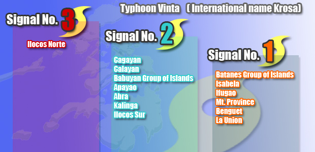
The provinces of Ilocos Norte will experience stormy weather with rough to very rough seas, Pagasa said.
Cagayan, the Babuyan and Calayan group of islands, Apayao, Abra, Kalinga, Ilocos Sur, Batanes group of islands, Isabela, Ifugao, Mt. Province, Benguet and La Union will have rains and gusty winds with moderate to rough seas.
Meanwhile, Metro Manila and the rest of Luzon and Mindanao will have cloudy skies with light to moderate rainshowers and thunderstorms. Visayas will be partly cloudy to cloudy with isolated rainshowers or thunderstorms mostly in the afternoon or evening.
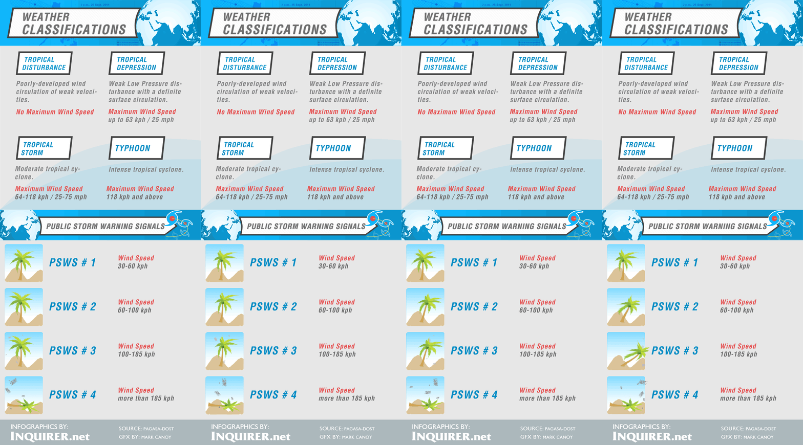
Those areas with public storm signals are alerted against possible storm surges.
Sea travel remained risky over the seaboards of Northern Luzon and over the western seaboard of Central Luzon.

