‘Quedan,’ now a storm, lingers over Catanduanes

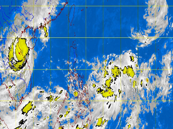
MT Satellite image October 1, 2013, Tuesday, 7:32AM. Screengrab from https://www.pagasa.dost.gov.ph/
MANILA, Philippines—“Quedan” (international name: Fitow) continues to hover over Catanduanes after it developed into a storm Monday night, the state weather bureau said early Tuesday.
The storm was last observed 790 kilometers east of Virac, Catanduanes, packing maximum sustained winds of 65 kilometers per hour near the center and gusts of up to 80 kph, the Philippine Atmospheric Geophysical and Astronomical Services Administration said Tuesday.
It is forecast to move north slowly at 7kph.
Palawan, Bicol Region, Visayas, Caraga, northern Mindanao and Zamboanga Peninsula will have cloudy skies with light to moderate rains and thunderstorms, Pagasa said.
The rest of the country, including Metro Manila, will be partly cloudy to cloudy with isolated rains or thunderstorms.
Article continues after this advertisementQuedan is expected to exit the Philippine area of responsibility by Thursday.