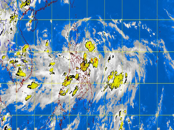
MANILA, Philippines – Storm Signal No. 1 was raised in parts of extreme Northern Luzon as tropical depression “Nando” maintained its strength, the state weather bureau said on Monday.
Signal No. 1 (or 45-6 kph winds) was raised in Batanes Group of Islands; Cagayan including Calayan; and Babuyan Group of Islands, the Philippine Atmospheric Geophysical and Astronomical Services Administration (Pagasa) said.
Leny Ruiz of Pagasa said the cyclone has not made landfall but they are not discounting the possibility.
“Nando” will enhance the southwest monsoon and will bring light to moderate rains and thunderstorms over Southern Luzon including Metro Manila, and over Western Visayas.
Moderate to heavy rains were also seen within its 400 kilometer-diameter.
“Nando” was last observed 480 kilometers east of Baler, Aurora, packing maximum sustained winds of 55 kilometers per hour.
It moved northwest at 15 kph and was seen to exit by Thursday.
Pagasa also warned that sea travel was risky over the eastern seaboard of Central and Southern Luzon.
