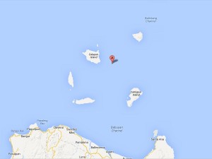
Signal No. 2, indicating wind speeds of 61 to 100 kilometers per hour, went up over the Batanes group of islands, while Signal No. 1, indicating winds of 30 to 60 kph, was hoisted over the Calayan and Babuyan groups of islands.
As of 5 p.m. Friday, the eye of the typhoon (international name “Soulik”) was observed some 360 kilometers northwest of Itbayat, Batanes, the Philippine Atmospheric, Geophysical and Astronomical Services Administration (Pagasa) said.
Huaning was packing peak winds of 165 kph near the center and gustiness of up to 200 kph. It is predicted to move west-northwest at 20 kph, Pagasa said.
By Saturday morning, the typhoon is forecast to have left the Philippine area of responsibility.
Although it won’t make landfall in the country, the storm will bring moderate to intense rainfall (falling at 4 to 22 millimeters per hour within its 900-kilometer diameter), Pagasa said. DJ Yap