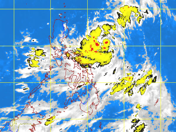
MTSAT ENHANCED-IR Satellite Image 9:32 a.m., 17 July 2012
MANILA, Philippines — After a brief visit, tropical storm “Enteng” (international name: Khanun) maintained its strength as it headed to Japan, the state weather bureau said Tuesday.
Enteng, which intensified as it entered the Philippine area of responsibility Monday night, was too far to affect any part of the country, the Philippine Atmospheric Geophysical and Astronomical Services Administration said.
As of early Tuesday, Entend was 1,100 kilometers east-northeast of Basco, Batanes with maximum winds of 65 kilometers per hour near the center and gustiness of up 80 kph. It was moving west- northwest at 30 kph.
By Tuesday afternoon, it will be 940 km north-northeast of Basco, Batanes or 30 km Northeast of Okinawa, Japan.
Meanwhile, a weak southwest monsoon affecting the Southern Luzon and Visayas will bring rains in these areas, Pagasa said.
Southern Luzon and Visayas will experience mostly cloudy skies with scattered rainshowers and thunderstorms. The rest of the country will be partly cloudy to cloudy with isolated rainshowers or thunderstorms.
Light to moderate southwesterly winds will prevail over the entire archipelago and the coastal waters will be slight to moderate.