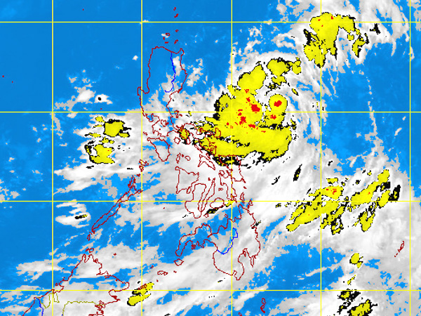
MTSAT ENHANCED-IR Satellite Image 9:32 a.m., 16 July 2012
MANILA, Philippines – While a shallow pressure area being monitored off Palawan dissipated before it became a cyclone, rains were still seen in Visayas and Mindanao due to an intertropical convergence zone (ITCZ) in the area, the state weather bureau said on Monday.
An ITCZ is a merge of winds from different directions, which is a breeding ground of potential cyclones.
Eastern Visayas and Mindanao will experience mostly cloudy skies with scattered rainshowers and thunderstorms, the Philippine Atmospheric Geophysical and Astronomical Services Administration said.
Meanwhile, the rest of the country will be partly cloudy to cloudy with isolated rainshowers or thunderstorms, it added.
“Light southwesterly to variable winds will prevail over Mindanao and its coastal waters will be slight except during thunderstorms. Elsewhere, winds will be light to moderate coming from the Southwest with slight to moderate seas,” Pagasa said.