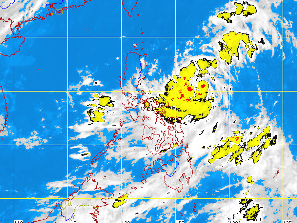
MTSAT ENHANCED IR Satellite Image for 7:32 a.m., 02 July 2012
MANILA, Philippines – A low pressure area (LPA) being monitored by the state weather bureau has less chances to become a cyclone but will still bring rains in parts of the country.
As of 2:00 a.m., the LPA was seen 120 kilometers northeast of Borongan, Eastern Samar, the Philippine Atmospheric Geophysical and Astronomical Services Administration said.
Central and Southern Luzon, Visayas and Mindanao will experience mostly cloudy skies with scattered rainshowers and thunderstorms becoming cloudy with widespread rains over the eastern section of Southern Luzon which may trigger flashfloods and landslides.
Meanwhile, the rest of Luzon will be partly cloudy to cloudy with isolated rainshowers or thunderstorms, Pagasa said.
Moderate to strong winds blowing from the northeast to north will prevail over Luzon and its coastal waters will be moderate to rough. Elsewhere, winds will be light to moderate coming from the northwest to southwest with slight to moderate seas.