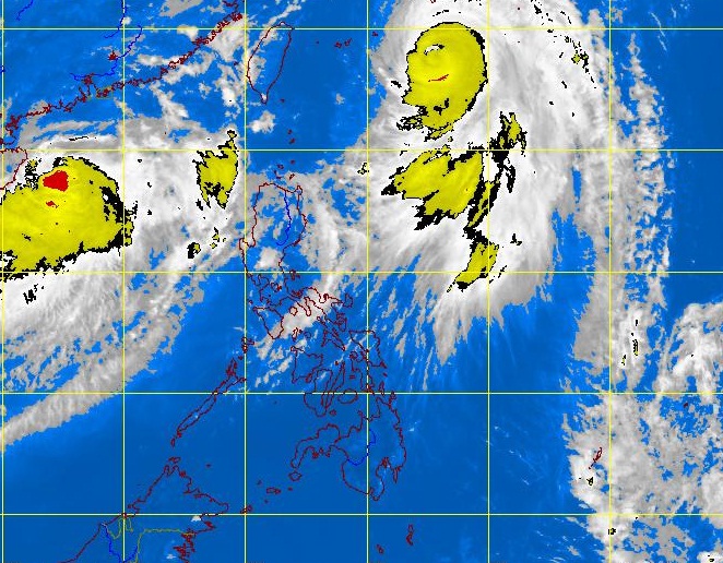
MTSAT ENHANCED IR Satellite Image for 12:32 n.n., 18 June 2012
MANILA, Philippines — A new weather disturbance was seen off the West Philippine Sea (South China Sea) and was seen to enter the Philippine area of responsibility Wednesday afternoon, the state weather bureau said.
The tropical depression with international name Talim, will be named Carina once it enters the country’s territory, according to Manuel Mendoza of the Philippine Atmospheric Geophysical and Astronomical Services Administration (Pagasa).
As of 8a.m., it was located 860 kilometers west of extreme northern Luzon, with maximum sustained winds of 75 kilometers per hour and with gustiness of up to 90 kph.
It was moving towards east northeast but was forecast to be stationary in the next 24 hours.
Pagasa added that it may intensify into a typhoon, although it might not make landfall in the country. Talim was heading towards Taiwan, the state-run weather bureau said.
Meanwhile, typhoon Butchoy has slightly weakened as it moved out of the country in a north northeast direction at 24 kph.
It has maximum winds of 160 kph near the center and gusts of up to 195 kph.
It was forecast to be 1,030 kilometers northeast of Basco, Batanes by Tuesday morning, Pagasa said.