





Potential super typhoon Uwan tracks toward PH


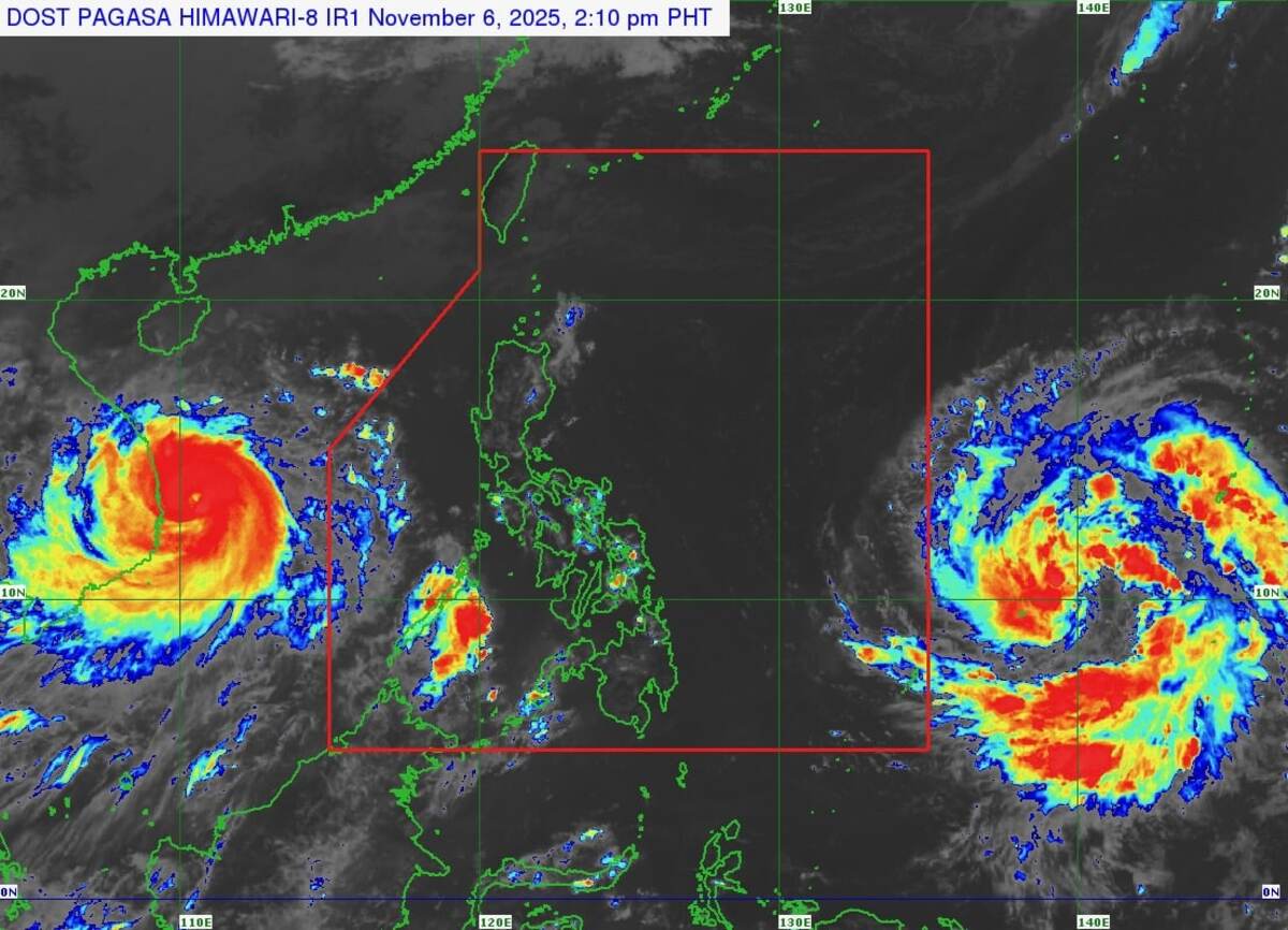
MANILA, Philippines — Tropical Storm Fung-Wong (which will be given the local name Uwan once it enters the Philippine area of responsibility or PAR) slightly strengthened on Thursday as it neared the country.
According to the Philippine Atmospheric, Geophysical and Astronomical Services Administration’s (Pagasa) typhoon bulletin as of 11 a.m., the tropical storm was last spotted 1,690 kilometers (km) east of Northeastern Mindanao.
READ: Potential super typhoon Uwan may enter PAR this weekend
It currently carries maximum sustained winds of 75 km per hour (km/h) near the center and gustiness of up to 90 km/h, while moving northwestward at 10 km/h.
“On the track forecast, this tropical cyclone is forecast to enter the PAR Friday late evening or Saturday early morning,” Pagasa said.
Pagasa then warned that while there is still uncertainty about its track, “there is an increasing chance of landfall on Monday over Northern or Central Luzon.”
The state weather bureau also maintained that it may reach the super typhoon category by Saturday.
Due to this, Tropical Cyclone Wind Signals may be hoisted over the eastern portion of Luzon and parts of Samar provinces as early as Friday evening to Saturday morning in anticipation of the Uwan.
Signal No. 5 is the highest forecast scenario as the typhoon starts closing in on the country, with bad weather expected to fully begin by Sunday, Nov. 9. /cb


