


(Satellite photo from Pagasa)
MANILA, Philippines — The low pressure area (LPA) inside the Philippine area of responsibility will bring overcast skies and rains to parts of Mindanao on Wednesday (March 26).
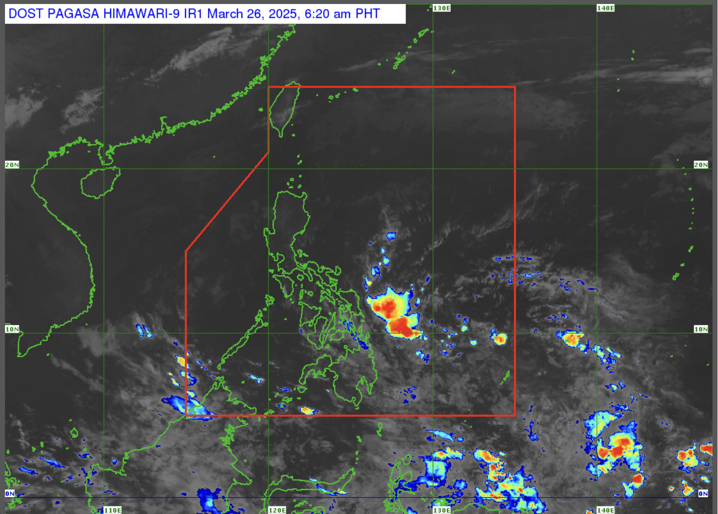
As of 3:00 a.m., the LPA was last spotted 645 kilometers east of southeastern Mindanao, according to a report from weather specialist Rhea Torres of the Philippine Atmospheric, Geophysical and Astronomical Services Administration (Pagasa).

“At present, we are monitoring a low pressure area inside our Philippine area of responsibility,” Torres said in a public weather forecast.
READ: Cloudy skies in Mindanao, hot weather for rest of PH Tuesday (March 25)
The LPA is not expected to become a tropical cyclone.
But Siquijor, the entire Central Visayas, Eastern Visayas, Caraga Region and Davao Region will see cloudy skies with scattered rain showers and thunderstorms.
On the other hand, fair weather is seen in Metro Manila and other parts of the country with partly cloudy to cloudy skies with isolated rain showers and thunderstorms.
Meanwhile, the LPA will continue to bring overcast skies with rains in parts of the country as it goes closer to landmass in the coming days.
Pagasa did not raise any gale warning in any seaboards nationwide.