Amihan, easterlies to bring cloudy skies, rainshowers on March 12
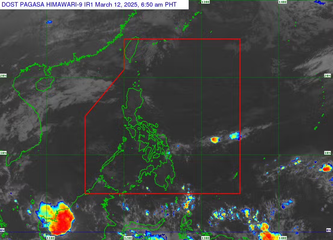
(Satellite photo from Pagasa)
MANILA, Philippines—The northeast monsoon or amihan and the easterlies are forecast to bring overcast skies and rain showers to some parts of the country on Wednesday, the Philippine Atmospheric, Geophysical, and Astronomical Services Administration (Pagasa) said.
In a morning forecast, Pagasa weather specialist Rhea Torres said the easterlies would bring cloudy skies with scattered rains and thunderstorms in Eastern Samar.
“Patuloy lamang ang pag-iral ng easterlies, lalung lalo na po dito sa may silangang bahagi ng ating bansa,” Torres noted.
(The easterlies will continue to affect the eastern parts of the country.)
Torres said Metro Manila and the rest of the country are predicted to see partly cloudy to cloudy skies with isolated rain showers and thunderstorms due to the easterlies.
“Asahan po natin ang maaliwalas na panahon sa malaking bahagi ng Luzon area,” she pointed out.
(We can expect generally fair weather over much of Luzon.)
“Kung may mga pag-ulan man ay dulot po ito ng mga thunderstorms o mga biglaan at panandaliang pagbuhos ng ulan na mas madalas pong mararanasan sa hapon o sa gabi,” she said.
(Any rainfall will likely come from brief thunderstorms, which are more frequent in the afternoon or evening.)
Meanwhile, Batanes will experience cloudy skies and rains due to the northeast monsoon, Torres added.
READ: Pagasa: 0-1 storm may hit PAR this March
No low-pressure area (LPA) or weather disturbance is also currently being monitored by the state weather bureau on Wednesday, according to Torres.
”Sa mga susunod na araw, dahil wala din po tayong inaasahan na LPA o bagyo na posibleng makaapekto sa kahit anong bahagi ng ating bansa for this week, ay aasahan po natin ang generally fair weather conditions,” Torres said.
(In the coming days, since no LPA or tropical cyclones are expected to affect any part of the country this week, we can expect generally fair weather.)
“Magpapatuloy po ‘yan sa malaking bahagi po ng ating kapuluan,” she emphasized.
(This generally fair weather condition will continue to prevail across a large part of our archipelago.)
Pagasa did not issue a gale warning for any of the country’s major seaboards on Wednesday.
”Ibayong pag-iingat lamang po sa mga plano pong pumalaot sa silangang dagat baybayin ng Luzon, maaaring makaranas pa rin po ng moderate to rough or katamtaman hanggang sa maalon na karagatan,” Torres cautioned.
(Extra caution is advised for those planning to set sail along the eastern seaboard of Luzon, as moderate to rough seas may still be experienced.)
Wave heights of 2.1 to 2.8 meters may be experienced in coastal areas with moderate to rough sea conditions, according to Pagasa.
READ: ‘Below average’ number of typhoons expected in PH this 2025
The state weather bureau also forecasts the following temperature ranges in major cities on Wednesday:
- Metro Manila: 24 to 33 degrees Celsius (°C)
- Baguio City: 17 to 26°C
- Laoag City: 25 to 33°C
- Tuguegarao: 22 to 33°C
- Legazpi City: 24 to 32°C
- Tagaytay City: 22 to 32°C
- Puerto Princesa City: 27 to 32°C
- Kalayaan Islands: 26 to 33°C
- Cebu City: 26 to 32°C
- Iloilo City: 25 to 32°C
- Tacloban City: 25 to 32°C
- Cagayan De Oro City: 24 to 31°C
- Zamboanga City: 24 to 34°C
- Davao City: 24 to 33°C