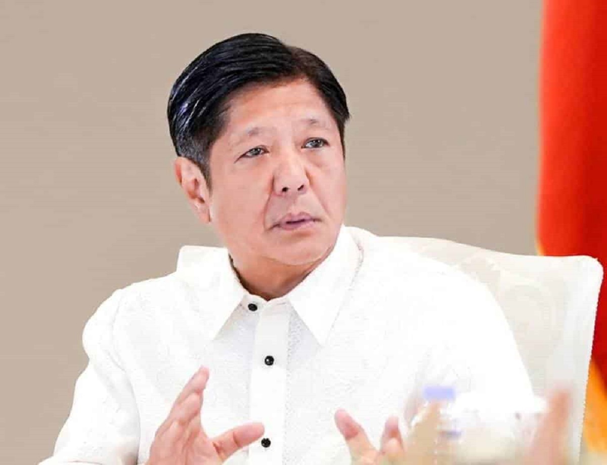
President Ferdinand “Bongbong” R. Marcos Jr. (MALACAÑANG PHOTO)
MANILA, Philippines – President Ferdinand “Bongbong” R. Ferdinand Marcos Jr. on Friday called on the public to draw inspiration from the message of the Murillo Velarde 1734 Map—the oldest known Philippine map that shows Scarborough Shoal as part of the Philippines’ territory.
Marcos and First Lady Liza Araneta Marcos received the original copy of the map in a ceremony in Malacañang.
“Let us not only admire the artistry of the masterpiece presented to us today but also draw inspiration from its enduring message: the call to protect and to assert what is rightfully ours, with resolve and with integrity,” said Marcos in his speech.
“Together, we hold the pen to write the next chapters of our nation’s history—chapters that uphold the principles of justice, truth, and unity. Let us ensure that the legacy of the Murillo Velarde Map continues to guide us in our journey as a nation, steadfast in our identity and resolute in our aspirations,” he added.
Also called the “Mother of all Philippine Maps,” the Murillo Velarde 1734 Map was one of the over 270 maps submitted by the Philippines to the Arbitral Tribunal constituted under the United Nations Convention on the Law of the Sea in 2013.
It played a role in establishing the country’s entitlement to maritime areas, as reaffirmed in the 2016 Arbitral Award on the South China Sea.
“It reminds us that history when meticulously preserved, wields immense power to inform and to uphold the truth,” Marcos added.
The map was acquired by Mel Velasco Velarde in 2014 at an auction in Sotheby in London and donated to the Philippine government.
It was produced by Spanish Jesuit Friar Pedro Murillo Velarde with the help of two Filipino artisans, Francisco Suarez and Nicolas dela Cruz Bagay.