Typhoon Ofel keeps its strength over PH Sea; Signal No. 2 up in 2 areas

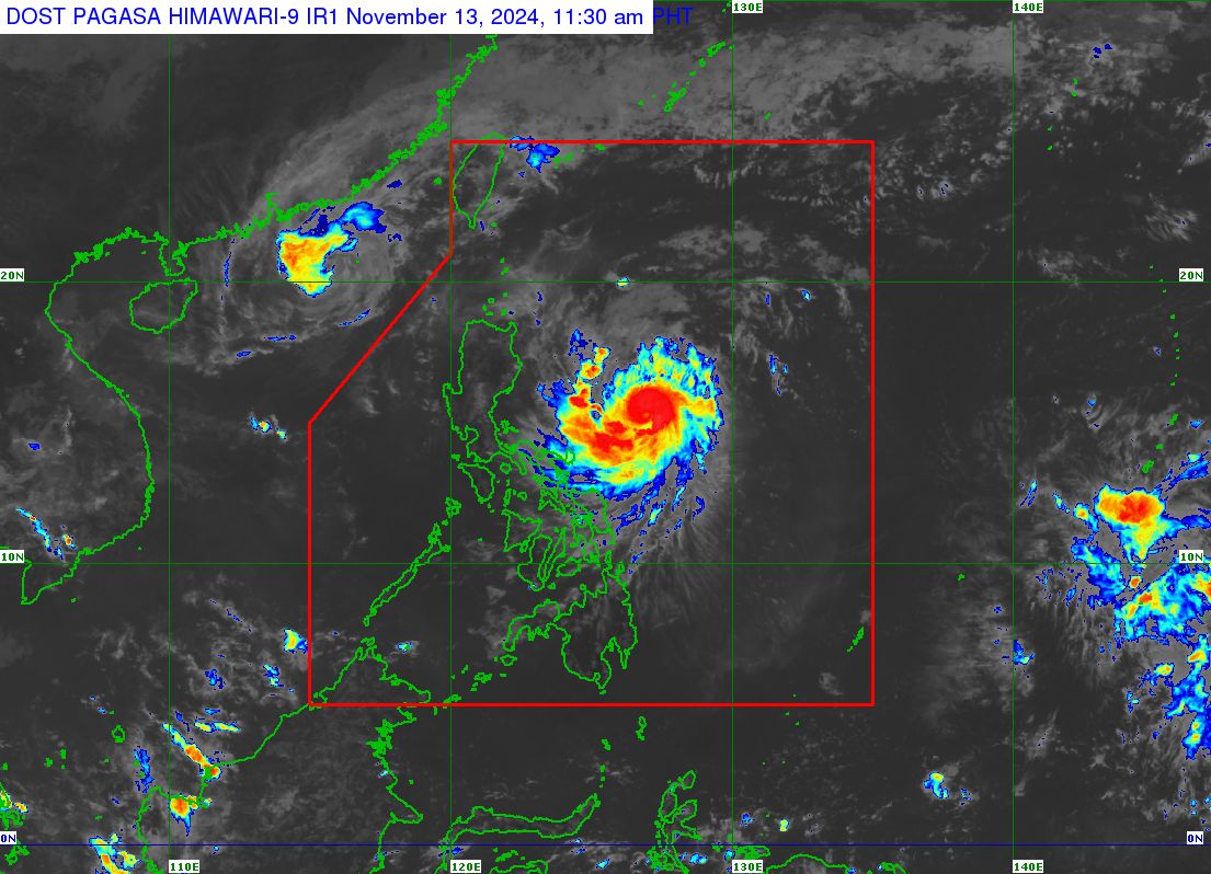
(Satellite photo from Pagasa showing Typhoon Ofel)
MANILA, Philippines — Typhoon Ofel (international name: Usagi) has maintained its strength as it moved west-northwestward over the Philippine Sea, the Philippine Atmospheric, Geophysical and Astronomical Services Administration (Pagasa) reported on Wednesday.
Based on the state weather bureau’s 11 a.m. bulletin, Ofel was last spotted 485 kilometers (km) east northeast of Daet, Camarines Norte, or 610 km east of Infanta, Quezon.
It packs maximum sustained winds of 120 kilometers per hour (kph) near its center and gustiness of up to 150 kph, moving northwestward at 20 kph.
Pagasa hoisted Tropical Cyclone Wind Signal (TCWS) No. 2 in the following areas:
Eastern portion of mainland Cagayan (Baggao, Peñablanca, Gattaran, Gonzaga, Lal-Lo, Santa Ana)
Article continues after this advertisementEastern portion of Isabela (Maconacon, Divilacan, Palanan)
Areas under TCWS No. 2 may experience gale-force winds of 62 to 88 kph, causing minor to moderate threat to life and property.
Meanwhile, the following areas were placed under TCWS No. 1, where strong winds ranging from 39 to 61 kph, as well as minimal to minor threat to life and property, may be expected:
- Batanes
- Babuyan Islands
- The rest of mainland Cagayan
- The rest of Isabela
- Quirino
- Nueva Vizcaya
- Apayao
- Kalinga
- Abra
- Mountain Province
- Eastern portion of Ifugao (Dilasag, Casiguran)
- Ilocos Norte
- Northern portion of Aurora (Alfonso Lista, Aguinaldo, Banaue, Mayoyao, Hingyon, Hungduan)
“The highest wind Signal which may be hoisted during the occurrence of Ofel is Wind Signal No. 4,” Pagasa stated.
Ofel is forecast to make landfall along the eastern coast of Cagayan or Isabela on Thursday afternoon.
It will steadily intensify within 24 hours and possibly make landfall during its peak intensity.
READ: Typhoon Ofel may trigger storm surge in areas in Northern Luzon