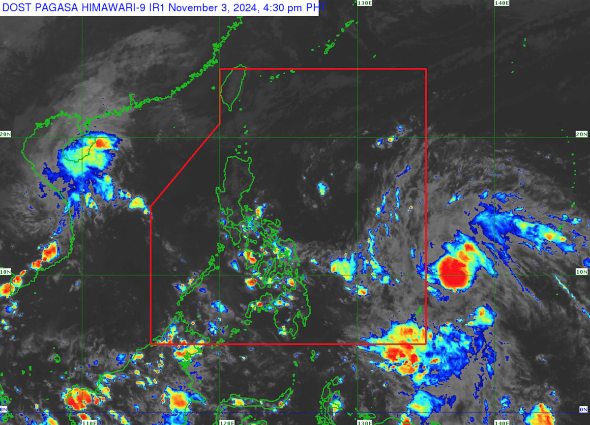
Tropical depression may enter PAR on Nov. 4

Photo from the Philippine Atmospheric, Geophysical, and Astronomical Services Administration.
MANILA, Philippines — The low-pressure area outside the Philippine Area of Responsibility (PAR) became a tropical depression on Sunday afternoon and it may enter PAR on Monday, November 4, the Philippine Atmospheric, Geophysical, and Astronomical Services Administration (Pagasa) said.
In its 5 p.m. bulletin, the state weather bureau said the tropical depression was last spotted 1,315 kilometers east of Eastern Visayas. It was moving northwestward at 30 kilometers per hour (kph).
It was packing maximum sustained winds of 55 kph, with gusts of up to 70 kph, according to Pagasa.
Pagasa added that the tropical depression would steadily move northwestward and it would be named “Marce” when inside the PAR.
Article continues after this advertisementIt will be the 13th tropical cyclone to enter the PAR this year, following Super Typhoon Leon (international name: Kong-rey).
Article continues after this advertisementThe tropical depression’s “northwestward movement will continue until Tuesday (November 5), before it begins to slow down significantly while turning more northward,” Pagasa said.
The state weather bureau explained that the tropical depression’s northwestward movement could intensify the surge of northeasterly winds later in the week.
“This, and the trough of the tropical cyclone, will bring rains over Extreme Northern Luzon and the eastern section of Luzon beginning tomorrow (November 4) or on Tuesday,” it added.
Meanwhile, northeasterly windflow, or weak Northeast Monsoon, may cause partly cloudy to cloudy skies with isolated light rains over Batanes and Babuyan Islands.
The Bicol Region, Eastern Visayas, Aurora, Quezon, and the rest of Cagayan Valley, on the other hand, may experience partly cloudy to cloudy skies with isolated rainshowers or thunderstorms due to easterlies.
Partly cloudy to cloudy skies with isolated rain showers may also be experienced in Metro Manila and the rest of the country due to localized thunderstorms.
Pagasa did not raise a gale warning over any of the country’s seaboards as of Sunday afternoon.