MANILA, Philippines — The storm was forecast to further intensify into a typhoon on Tuesday as it moves west-northwestward with a speed of 15 kilometers per hour over the Philippine Sea, weather specialist Veronica Torres of the Philippine Atmospheric, Geophysical and Astronomical Services Administration (Pagasa) said in a 5 p.m. broadcast.
Leon might also make landfall or pass near Batanes, which is inside the area of the probability of the storm’s current track, Torres said, warning further that the storm may yet turn into a supertyphoon as it moves toward Batanes.
Out by Friday
The storm is expected to exit the Philippine area of responsibility by Friday and move toward the East China Sea.
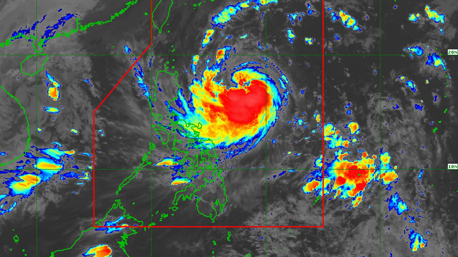
Currently, its center was located 725 km east of Echague, Isabela, with maximum sustained winds of 100 km per hour near the center and gustiness of 125 km/h, according to a 5 p.m. bulletin by Pagasa.
Signal No. 1 was raised over parts of Luzon, including Batanes, Cagayan and the Babuyan Islands, Isabela, Quirino, Nueva Vizcaya, Apayao, Kalinga, Abra, Mountain Province, Ifugao, the northern portion of Benguet, Ilocos Norte, Ilocos Sur, La Union, Aurora, the northern portion of Quezon, including Polillo Islands, Camarines Norte, the eastern portion of Camarines Sur, Catanduanes, the eastern portion of Albay, and the northeastern portion of Sorsogon.
In Visayas, Signal No. 1 was raised over the eastern portion of Northern Samar and the northern portion of Eastern Samar.
Intense to torrential rainfall is expected as far from the storm’s path as Antique, while heavy to intense rainfall was forecast at Occidental Mindoro.