
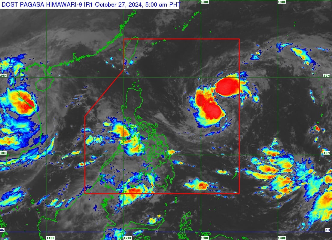
(Satellite photo courtesy of Pagasa)
MANILA, Philippines — Tropical Storm Leon (international name: Kong-rey) maintains its strength as it traverses the Philippines Sea, the state weather bureau said on Sunday.
In its 5 a.m. cyclone update, the Philippine Atmospheric, Geophysical and Astronomical Services Administration (Pagasa) said Leon was last monitored 1,195 kilometers east of Central Luzon.

READ: Leon enters PAR; Signal No. 1 may be raised by Sunday
It moving westward at 20 kilometers per hour (kph), carrying maximum sustained winds of 65 kph near the center and gusts of up to 80 kph.
No wind signal was raised in any parts of the country.
However, Pagasa said Leon may affect Extreme Northern Luzon.
Signal No. 1 may also be hoisted over Cagayan Valley and the northeastern portion of the Bicol Region by Sunday night.
The storm is forecast to bring strong to gale-force gusts over Catanduanes, Northern Samar, Eastern Samar and Dinagat Islands.
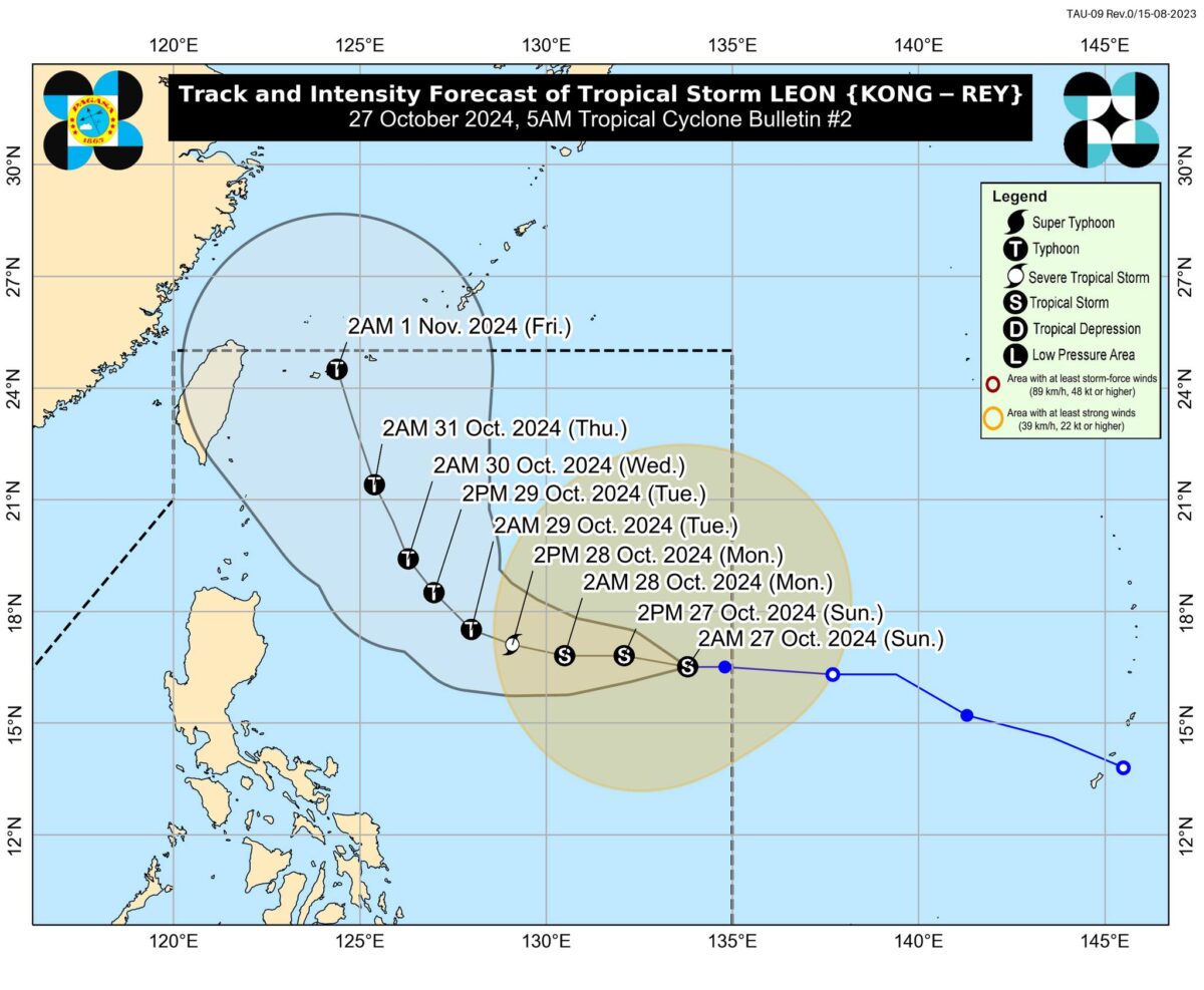

Pagasa expects Leon to remain far from the Philippine landmass.
“Leon is forecast to move westward until tomorrow (28 October) early morning before turning west-northwestward from tomorrow morning to Tuesday (29 October) early morning,” the state weather service said.
“Afterwards, it is forecast to turn northwestward to north-northwestward for the rest of the forecast period and may make landfall over the Ryukyu Islands in Okinawa, Japan on Friday (November 1) early morning,” it added.