
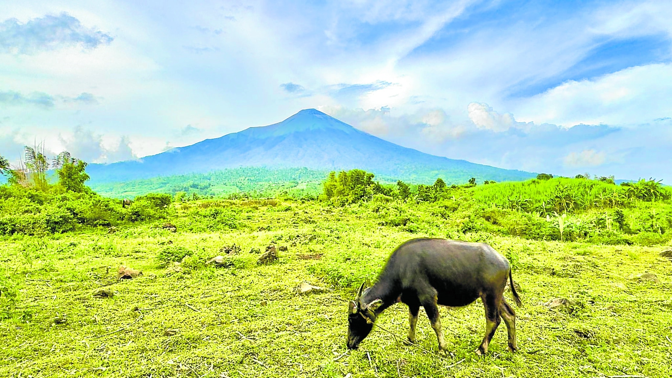
CALM FOR NOW Mt. Kanlaon, which erupted in June 3 that caused thousands to flee their homes, does not show any sign of restiveness in this photo taken in mid-October, even as it remains under alert level 2, which means the probable intrusion of magma in its crater that can lead to another eruption. —RONNIE BALDONADO
BACOLOD CITY—Authorities are seeking to clear the 4-kilometer danger zone at Mt. Kanlaon of residents living in the area.
The Western Visayas Regional Disaster Risk Reduction Management Office (RDRRMO) would want to declare Mt. Kanlaon’s 4-kilometer permanent danger zone (PDZ) into a “strict protection zone (SPZ), which is expected to affect 50 to 60 households.
The RDRRMO recommendation, which was adopted on Oct. 22, asked the Protected Area Management Board (PAMB) of the Mt. Kanlaon Natural Park to make the SPZ declaration that would strictly prohibit living or farming in the area.
This means “all human activities would be prohibited,” said Raul Fernandez, head of the Office of Civil Defense in Western Visayas.
Fernandez, in an interview on Thursday, said the declaration would be their legal basis for seeking assistance from the national government to relocate and provide homes for the affected families.
He said that data from the PAMB data showed that there are still about 50 to 60 households within the PDZ of Mt. Kanlaon, who are engaged in farming.
Mayor Rhummyla Mangilimutan of La Castellana town, where most of the PDZ’s land is located, said the households living in the area plant banana, peanut and sweet potato.
Negros Occidental Gov. Eugenio Jose Lacson said the provincial government would look into how it could assist the municipal government of La Castellana on how to relocate the affected families.
Latest eruption
Mt. Kanlaon, which covers 24,557.60 hectares of land, straddles the cities of Bago, La Carlota and San Carlos and the towns of Murcia and La Castellana in Negros Occidental and Canlaon City in Negros Oriental.
The volcano erupted on June 3 this year, causing thousands to flee their homes.
The eruption also resulted in spewing coarse ashfall and sulfurous fumes that damaged P84.1 million in crops and fisheries.
Mt. Kanlaon, the highest mountain on the island of Negros as well as the highest peak in the Visayas, with an elevation of 2,465 meters (8,087 ft) above sea level, remains under alert Level 2 with elevated levels of volcanic earthquakes, steam/gas emission, ground deformation.
Alert level 2 means probable intrusion of magma at depth, which can lead to magmatic eruption. Entry within the permanent danger zone must be prohibited, said the Philippine Institute of Volcanology and Seismology (Phivolcs).
Last Oct. 24, Mt. Kanlaon recorded two volcanic earthquakes and 6,477 tons of sulfur dioxide emission, the Phivolcs said.