
(Satellite photo courtesy of Pagasa)
MANILA, Philippines — Tropical storm Julian intensified into a severe tropical storm on Sunday morning while moving over the Philippine Sea, according to the state weather service.
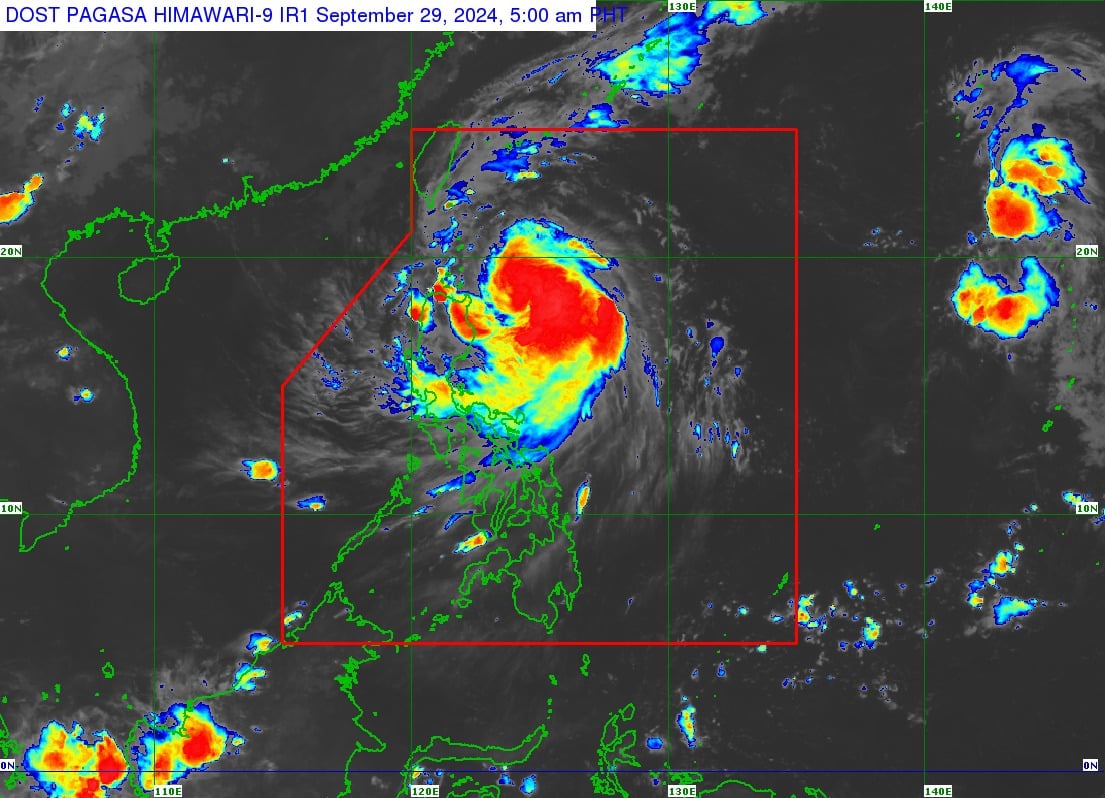
In its latest cyclone update, the Philippine Atmospheric, Geophysical and Astronomical Services Administration (Pagasa) reported that Julian was last spotted 305 kilometers (km) east of Aparri, Cagayan.
READ: Julian intensifies, signal no. 1 up in northern Luzon

It is moving west-northwestward at 10 kilometers per hour (kph), packing maximum sustained winds of 95 kph and gusts of up to 115 kph.
Following this development, Pagasa said it raised signal no. 2 in the following areas:|
The northeastern portion of Mainland Cagayan (Santa Ana)
The eastern portion of the Babuyan Islands (Camiguin Islands, Babuyan Islands)
Meanwhile, signal no. 1 remains hoisted in the following areas:
Batanes
The rest of Cagayan
The rest of the Babuyan Islands
Isabela
Apayao
Abra
Kalinga
The eastern central portions of Mountain Province (Natonin, Paracelis, Sadanga, Barlig, Bontoc)
The eastern portion of Ifugao (Aguinaldo, Alfonso Lista, Mayoyao)
Ilocos Norte
The northern portion of Ilocos Sur (Sinait, Cabugao, San Juan, Magsingal, Santo Domingo, Bantay, San Ildefonso, San Vicente)
The northern portion of Aurora (Dilasag, Casiguran)
Based on the state weather service’s forecast, Julian is expected to make landfall or close approach Batanes on Monday (September 30).
It will also likely reach the typhoon category by Sunday night or Monday morning.