MANILA, Philippines — Tropical depression Julian intensified into a tropical storm on Saturday morning, the Philippine Atmospheric, Geophysical and Astronomical Services Administration (Pagasa) said.
In an 11 a.m. update, Pagasa weather specialist Veronica Torres also said Tropical Cyclone Wind Signal No. 1 was raised over the following areas:
- Batanes
- Cagayan, including Babuyan Islands
- Northern and eastern portions of Isabela (San Pablo, Divilacan, Maconacon, Palanan, Cabagan, Santa Maria, Tumauini, Ilagan City, San Mariano, Santo Tomas, Delfin Albano, Dinapigue)
- Apayao
- Ilocos Norte
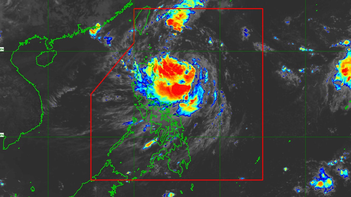
As of 10 a.m., Julian was spotted 465 kilometers (km) east of Aparri, Cagayan, carrying maximum sustained winds of 65 km per hour (kph) and gustiness of up to 80 kph.
It moves slowly in a south-south eastward direction.
Pagasa said Julian was forecast to move in a west-southwest or westward direction on Saturday, then northwestward on Sunday through Monday towards the Batanes-Babuyan Islands area.
It also said that landfall on Monday over Batanes and Babuyan Islands is not being ruled out.
Julian may reach the typhoon category on Monday and exit the Philippine area of responsibility by Wednesday evening or Thursday morning.