Julian may become a super typhoon; 3 areas under Signal No. 1
MANILA, Philippines — Tropical Depression Julian may become a super typhoon in the coming days, but state meteorologists only hoisted Tropical Cyclone Wind Signal No. 1 over three areas for now.
As of 11:00 p.m., the center of Julian was estimated at 400 kilometers east of Basco, Batanes, packing maximum sustained winds of 55 kilometers per hour (kph) near the center with gustiness of up to 70 kph, according to Philippine Atmospheric, Geophysical and Astronomical Services Administration’s (Pagasa).
It will continuously intensify throughout the forecast period and may reach tropical storm category on Saturday morning before becoming a typhoon on Sunday.
While under the typhoon category, Julian may possibly make landfall over Batanes on Monday afternoon or evening.
“Rapid intensification is increasingly likely and the possibility of [Julian] reaching super typhoon category is not ruled out,” Pagasa said.
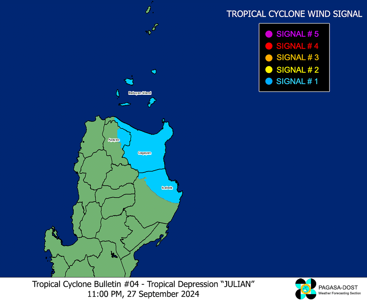
Article continues after this advertisementFor now, Pagasa said Cagayan including Babuyan Islands, the northeastern portion of Isabela, and the easter portion of Apayao are under the TCWS No. 1. In these areas, 39 kph to 61 kph wind speed is expected, causing minimal to minor threat to life and property.
Julian is the tenth tropical cyclone this year and the eighth this month.