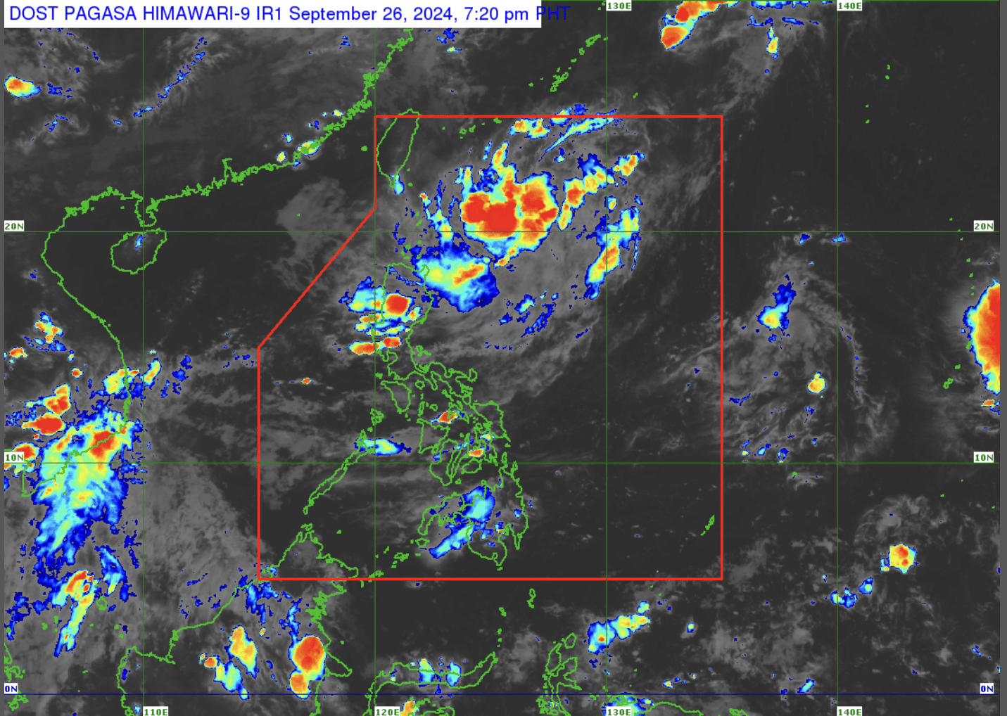
(Photo courtesy of Pagasa)
MANILA, Philippines — The low-pressure area (LPA) inside the Philippine Area of Responsibility (PAR) has a “medium” chance of developing into a tropical cyclone in the next few days, according to the state weather bureau.
In an afternoon forecast, the Philippine Atmospheric, Geophysical and Astronomical Services Administration (Pagasa) revealed that the LPA inside PAR was last located some 715 kilometers east of Extreme Northern Luzon.
READ: LPA outside PAR now a tropical depression, says Pagasa
“Sa ngayon, medium chance po ito na maging isang ganap na bagyo o mababa ang chance maging isang bagyo within the next 24 hours pero may posibilidad within the next 48 hours,” weather specialist Chenel Dominguez said on Thursday.
(As of now, it has a medium chance of becoming a full-fledged storm, with a low chance of developing within the next 24 hours but a possibility within the next 48 hours.)
Dominguez, however, reported that this LPA now affects Batanes, bringing cloudy weather with chances of rain showers over the area.
Meanwhile, the LPA outside PAR that was last monitored around 1,450 kilometers east of Eastern Visayas has no direct effect in any part of the country.
“Mababa ang tsansa [nito] na pumasok ng PAR possible na mag dissipate din sa susunod na araw,” Domiguez said.
(It has a low chance of entering PAR and may possibly dissipate in the next few days.)
For the other LPA outside PAR, the weather specialist noted that it remains very far from the country’s landmass at 2,645 kilometers east of Central Luzon.
Likewise, this LPA has a low chance of entering the country’s boundary.
As extreme northern Luzon will experience rainy weather, Dominguez said the rest of the country will have warm or fair weather with chances of rain showers.