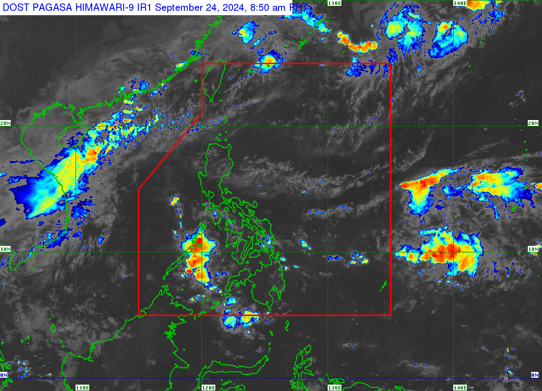
A low pressure area (LPA) is likely to form or enter the Philippine area of responsibility by the end of this week, the Philippine Atmospheric, Geophysical and Astronomical Services Administration (Pagasa) says on Tuesday, September 24, 2024. Weather satellite image from Pagasa
MANILA, Philippines — A low-pressure area (LPA) is likely to form or enter the Philippine area of responsibility by the end of this week, the Philippine Atmospheric, Geophysical and Astronomical Services Administration (Pagasa) said Tuesday.
Pagasa weather specialist Rhea Torres said the possible LPA may form near the extreme northern Luzon by Friday (September 27) or Saturday (September 28).
She also said that it may only affect the Batanes and Babuyan Islands.
“Ngunit dahil may kalayuan po ang Friday and Saturday possible pa din po magbago ang pangyayari,” Torres said.
(But this scenario may change because Friday and Saturday are still far away.)
For Tuesday, however, the majority of the country will experience fair weather, the Pagasa expert added.
READ: Fair weather forecast for Sept. 23 as southwest monsoon weakens
“Wala po tayo namamataan na makakapal na kaulapan na possibleng magdulot ng maghapong o buong araw na pag-ulan sa anumang bahagi ng ating bansa,” Torres said.
(We are not monitoring thick cloud bands that could cause rain for the entire day in the whole country.)
“Asahan natin na magpapatuloy ang generally fair weather conditions maliban na lang po ang posibilidad ng mga biglaan o mga panandaliang pag-ulan dulot ng localized thunderstorms,” she continued.
(We expect generally fair weather conditions to continue except for the possibility of sudden or brief rain showers due to localized thunderstorms.)
Pagasa did not raise any gale warning over any seaboards nationwide for September 24.