Official Facebook page of GeoRisk Philippines
MANILA, Philippines — With the Philippines at the highest risk of natural disasters in the world, the government has launched upgraded versions of its GeoRiskPH online tools that let users download hazard maps and analyze data on fault lines, flooding patterns, and storm paths for free.
Through GeoRiskPH, government agencies and local government units (LGUs), as well as the public, may access useful scientific information that will help them assess their community’s vulnerability to natural hazards and calamities.
“We must acknowledge the complexities of hazards and utilize available data and historical trends to craft scenarios and strategies. Remember, disaster prevention is everyone’s responsibility,” Science Secretary Renato Solidum Jr. said at the launch of the improved GeoRiskPH services at the Philippine International Convention Center in Pasay City on Monday.
The initiative was first started in 2018 by the Department of Science and Technology (DOST).
READ: ‘Check geohazard maps before buying a house’
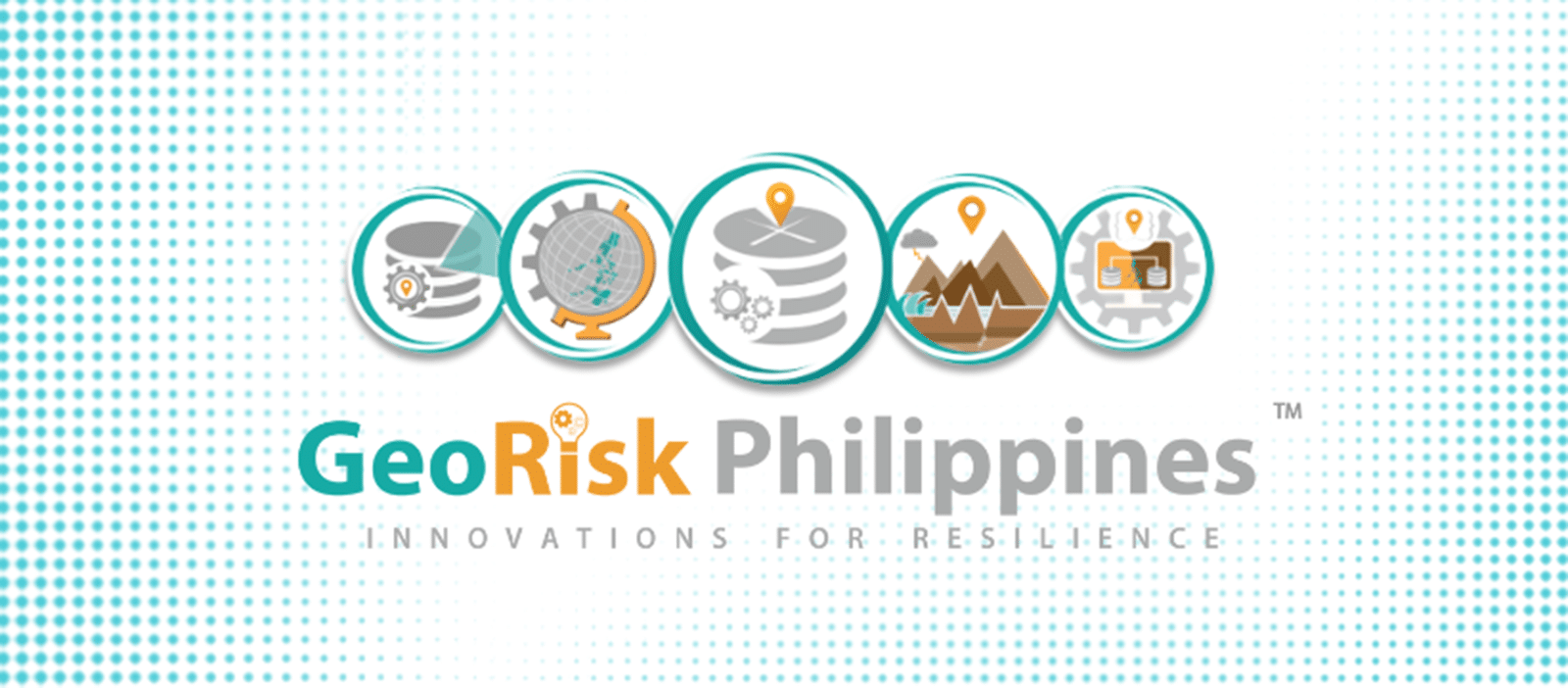
GeoRiskPH’s main tools include HazardHunterPH, through which individuals can access data on fault lines, earthquakes, and typhoon paths. Its upgraded version, HazardHunterPro, remains free but will require login credentials.
GeoAnalyticsPH generates maps with relevant data, such as how many people in an area are vulnerable to flooding, or their proximity to schools or hospitals. The website helps decision-makers, such as LGUs, craft disaster reduction plans through speedy data analysis.
Real-time data
GeoMapperPH, on the other hand, was designed to access and contribute local-level disaster data and includes real-time data updates and analytics. Its website allows users to simultaneously view, create, and edit geospatial data, such as the dimensions of buildings or the boundaries of a city.
Meanwhile, PlanSmart is an automated planning tool for faster formulation of rehabilitation and recovery plans. Users only have to input relevant information into the site and it will automatically compile the data and produce a downloadable report.
According to the 2024 World Risk Report released earlier this month, the Philippines was at the highest risk among 193 countries to the impact of extreme natural events and negative climate change.
The country’s rank in the annual report has been unchanged for three straight years.
Acknowledging the report, Solidum said the country’s vulnerability to disasters was precisely the reason the government was looking for solutions about “what we can do to change our narrative.”
“In the latest report, it is clear that our geography… exposes us to numerous natural disasters,” he said.
At present, GeoRiskPH has partnered with 20 national government agencies and 52 LGUs. HazardHunterPH has 1.4 million users while GeoAnalyticsPH has 66,000.
The DOST has also conducted workshops for some 700 municipal governments and has also trained several other LGUs.
Interior Undersecretary Marlo Iringan encouraged local government executives to use the platforms.
“On the part of the DILG (Department of the Interior and Local Government), we cannot really impose it (GeoRiskPH) as a requirement, but perhaps we can include this as one of the indicators in the Seal of Good Governance. That’s one way of encouraging our LGUs,” he said.
Project Noah
In 2012, the DOST launched Project Noah (Nationwide Operational Assessment of Hazards) to provide tools and information to mitigate or avert disasters caused by natural hazards, such as a flood and rain forecasting system.
But it was discontinued in February 2017. The University of the Philippines later adopted the project and continued its work.
Since then, the DOST has developed other applications for disaster risk reduction and management planning, including GeoMapperPH, HazardHunterPH, and PlanSmart. —with a report from Inquirer Research