
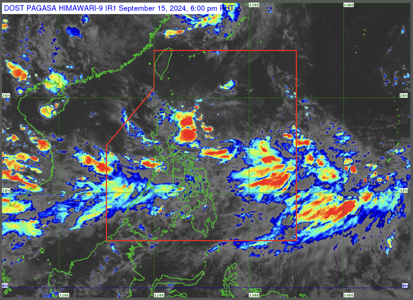
Image from DOST / Pagasa
MANILA, Philippines — The state weather bureau is monitoring two low-pressure areas (LPA) inside and outside of the Philippine area of Responsibility (PAR), which have a chance of developing into a tropical cyclone.
In an afternoon forecast, the Philippine Atmospheric, Geophysical and Astronomical Services Administration (Pagasa) the LPA inside PAR was last spotted 460 kilometers (km) east of Casuguran in Aurora, while the one outside is far from the country’s landmass at 2,160 km east of Eastern Visayas.
READ: Cloud clusters east of Luzon have become a low-pressure area
If the one inside PAR intensifies, Pagasa said it will immediately raise wind signals in areas of Cagayan and the eastern section of Northern Luzon.
“Sa mga susunod na araw posible din itong magdulot ng moderate to heavy rains lalo na dito bahagi ng Cagayan at Isabela. Ngayong hapon inaasahan magdudulot ang trough or extension nito ng epekto sa Isabela o Cagayan,” weather specialist Ana Clauren-Jorda said.
Meanwhile, Jorda said the southwest monsoon or habagat will continue to bring heavy rains over the northern portion of Palawan, Occidental Mindoro, Aklan, and Antique.
Meanwhile, Pagasa said a gale warning remains hoisted in the following areas, waves could reach as high as 3.7 to 4.5 meters:
- Occidental Mindoro
- Palawan
- Romblon
- Western Visayas
- Negros Island Region
- Central Visayas
- Southern Leyte
- Leyte (Matalom, Bato,
- Hindang, Hilongos, Inopacan)
- Zamboanga del Norte
- Camiguin
- Dinagat Island
- Surigao del Norte (San Francisco, Malimono, Surigao City)