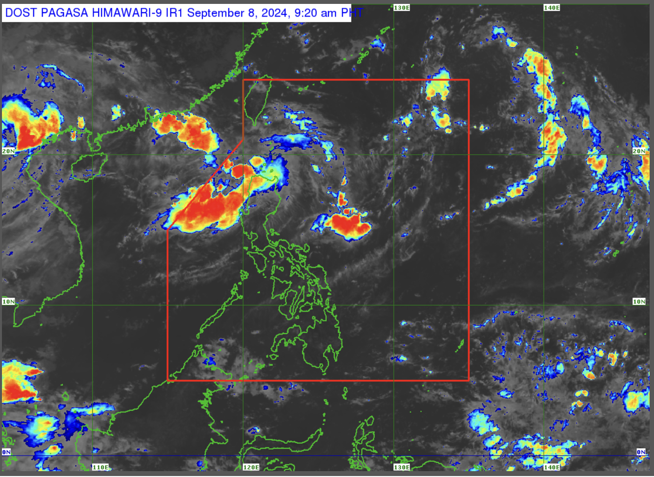
Pagasa watches 2 LPAs outside PAR

(Satellite photo courtesy of Pagasa)
MANILA, Philippines — The state weather bureau is monitoring two low-pressure areas (LPA) outside the Philippine area of Responsibility (PAR), which have a low chance of developing into tropical cyclones in the next 24 hours.
In a morning forecast, the Philippine Atmospheric, Geophysical and Astronomical Services Administration (Pagasa) said the closer LPA was last seen east northeast of Extreme Northern Luzon, while the other was spotted east of Mindanao.
READ: Pagasa monitors LPA, cloud clusters as monsoon affects Luzon Sept 7
“Itong parehong LPA na ito ay hindi natin inaalis yung posibilidad na maging isang bagyo sa mga susunod na araw. Ngunit within 24 hours, nanatiling mababa ang tsansa nito ma-develop at ayon sa ating latest analysis, wala rin itong direct effect sa anumang bahagi ng bansa,” Pagasa weather specialist Grace Castañeda said.
(These similar LPAs, we do not discount the possibility that they will become typhoons in the coming days. But within 24 hours, the chance of them developing is low and based on our latest analysis, they do not have any direct effect in our country.)
Article continues after this advertisementHowever, she said the LPA east northeast of Extreme Northern Luzon is expected to enhance the southwest monsoon or habagat once it moves closer to PAR or enters the boundary.
Meanwhile, habagat will bring rain over the western part of Northern and Central Luzon.
“Samantala, itong LPA sa may silangan ng Mindanao, kapag ito ay lumapit sa ating PAR ay posible din nyang slightly mahila itong habagat kung saan, posible, by second half of this week ay magdulot naman ng mataas na tsansa ng pag-ulan sa may western section ng Visayas at Mindanao,” Castañeda further reported.
(The LPA east of Mindanao may also slightly pull habagat once it nears PAR, which may bring rain over the western section of Visayas and Mindanao by the second half of this week.)
On the other hand, habagat continues to affect most parts of Luzon, while the rest of the country is experiencing partly cloudy to cloudy skies and localized thunderstorms.
Despite these conditions, Pagasa did not raise a gale warning in any of the country’s seaboard.