
Weather satellite image from Pagasa
MANILA, Philippines — Enteng will intensify into a severe tropical storm on Tuesday, according to the state weather bureau.
In its 11:00 a.m. report, the Philippine Atmospheric, Geophysical and Astronomical Services Administration (Pagasa) said “Enteng is forecast to reach severe tropical storm by this afternoon or evening, and typhoon category by Thursday.”
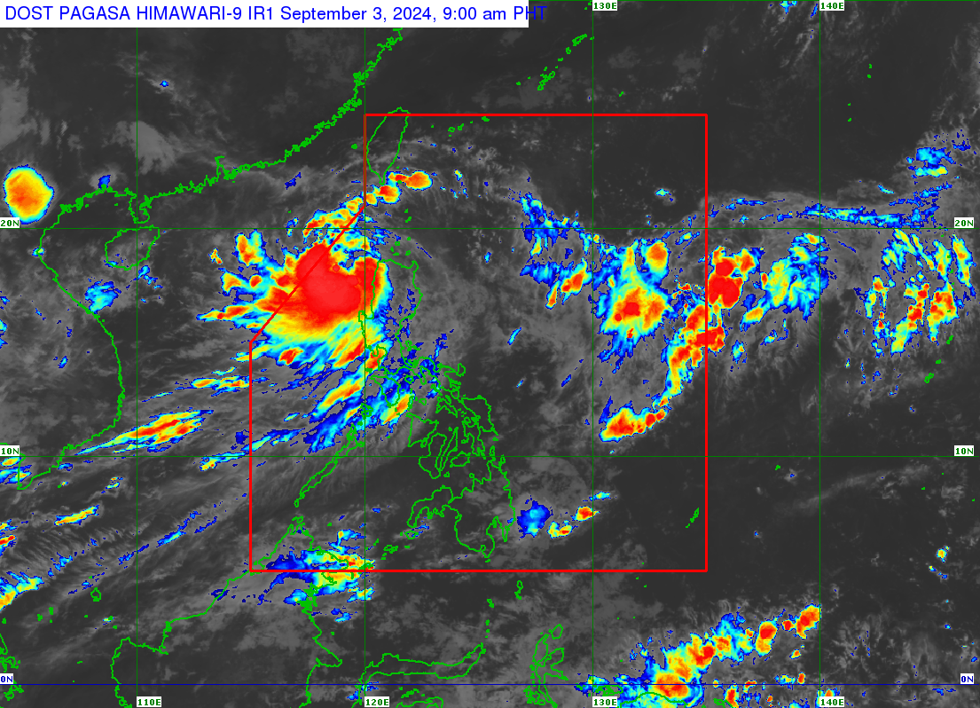
The center of Enteng was last spotted 100 kilometers northwest of Laoag City, Ilocos Norte. It was packing maximum sustained winds of 85 kilometers per hour (kph) near the center with gustiness of up to 105 kph.
Pagasa said Enteng is forecast to continue moving generally west-northwestward and is expected to turn westward over the West Philippine Sea starting Wednesday until it reaches Hainan, China on Saturday.
To date, only the western portion of Ilocos Norte and the northern portion of Ilocos Sur are under Tropical Cyclone Wind Signal (TCWS) No. 2, where winds greater than 62 kph and up to 88 kph may be expected in at least 24 hours, causing minor to moderate impacts to life and property.
There were six areas under TCWS No. 2 in the previous update.
READ: Signal No. 2 still up in parts of northern Luzon due to Enteng
The rest of Ilocos Norte, the rest of Ilocos Sur, the northern portion of La Union, Apayao, Kalinga, Abra, the western portion of Mountain Province, the northern portion of Benguet, and the western section of Cagayan including Fuga and Dalupiri Islands remain under TCWS No. 1.
Under TCWS No. 1, 39 kph to 61 kph wind speed is expected, causing minimal to minor threats to life and property.
Pagasa will release the next bulletin at 5:00 p.m.