Enteng slightly weakens but could intensify into severe tropical storm
Tropical Storm Enteng from Pagasa’s 2 a.m. weather bulletin on Tuesday, Sept. 3. —Photo from Pagasa/Facebook
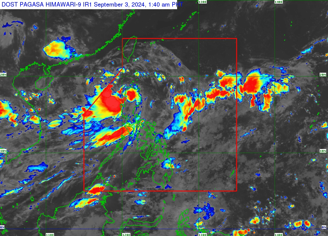
MANILA, Philippines — Tropical Storm Enteng has slightly weakened as it maintained its movement over the Cordillera Administrative Region early Tuesday morning, Sept. 3, the Philippine Atmospheric, Geophysical, and Astronomical Services (Pagasa) reported.
In its 2 a.m. weather bulletin, the center of Enteng was seen at Kabuyao, Apayao as it moved northwestward with a speed of 20 kilometers per hour (km/h). It has maximum sustained winds of 75 km/h with gustiness of up to 125 km/h.
According to Pagasa, the tropical storm is forecast to intensify its tropical storm category by Tuesday up to Thursday.
READ: Tropical Storm Enteng slows down, moves over Kalinga
“ENTENG is forecast to maintain tropical storm category during its traverse of mainland Northern Luzon. Further intensification is forecast to occur from this afternoon onwards, with ENTENG becoming a severe tropical storm by this afternoon (at the earliest) or evening, and typhoon category by Thursday,” said Pagasa.
READ: 3 flights canceled on Tuesday, Sept. 3 due to TS Enteng
Further, Enteng will head towards the Ilocos Region by Tuesday morning while it will move westward over the West Philippine Sea from Tuesday afternoon until Thursday, September 5. It is expected to leave the Philippine area of responsibility by Wednesday morning.
Tropical Cyclone Wind Signals (TCWS) are declared in the following areas:
TCWS No. 2
- Ilocos Norte
- Northern part of Ilocos Sur (Sinait, Cabugao, San Juan, Magsingal, Santo Domingo, San Ildefonso, San Vicente, Santa Catalina, City of Vigan, Bantay, Santa, Caoayan)
- Apayao
- Abra
- Kalinga
- Mountain Province
- Ifugao
- Cagayan including Babuyan Islands
- Northern and central portions of Isabela (Santo Tomas, Alicia, San Mateo, Aurora, Santa Maria, Quezon, San Mariano, Ramon, Naguilian, Roxas, San Guillermo, Luna, Delfin Albano, City of Cauayan, Echague, San Pablo, Ilagan City, Angadanan, Benito Soliven, City of Santiago, Tumauini, Cabagan, Reina Mercedes, San Manuel, Cabatuan, Quirino, Divilacan, Gamu, San Isidro, Mallig, Cordon, Jones, Maconacon, Burgos, San Agustin)
- Northern part of Quirino (Cabarroguis, Diffun, Aglipay, Saguday)
- Northern part of Nueva Vizcaya (Diadi, Bagabag)
TCWS No.1
- Batanes
- The rest of Ilocos Sur
- La Union
- Benguet
- The rest of Isabela
- The rest of Nueva Vizcaya
- The rest of Quirino
- Northern and central portions of Aurora (Casiguran, Dilasag, Dinalungan)
- Northeastern portion of Nueva Ecija (Carranglan, Pantabangan, Bongabon)
Meanwhile, the enhanced southwest monsoon, or locally called habagat, will bring moderate to intense rains in other areas of Luzon (especially the western portions) over the next three days.
Pagasa said that gale warning is still in effect over the seaboards of Northern Luzon and eastern seaboards of Central and Southern Luzon as “sea travel is risky for small seacrafts, including all types of motorbancas.”