LIST: Flooded areas in Metro Manila
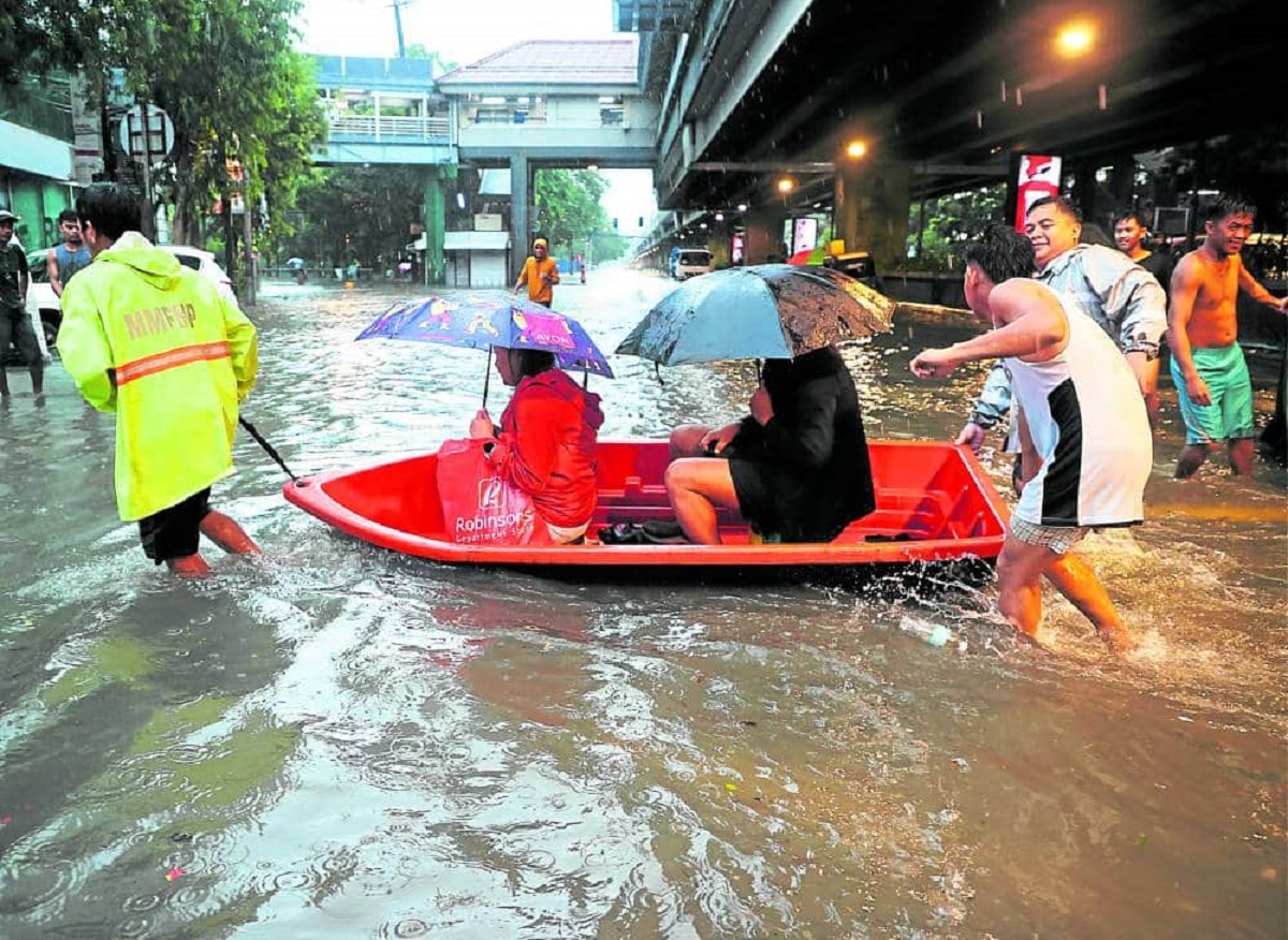
BEST OPTION Two commuters choose the dry route as people around them wade through floodwaters along Taft Avenue, Manila, at the height of heavy rains due to Super typhoon “Carina” and the southwest monsoon. — File photo from MARIANNE BERMUDEZ
MANILA, Philippines — Many major roads in Metro Manila saw flooding on Monday due to heavy rains brought by Tropical Storm (TS) Enteng and the southwest monsoon, according to the Metropolitan Manila Development Authority (MMDA).
As of 11:00 a.m., the MMDA said the following major roads were flooded:
- Commonwealth University Avenue eastbound, two inches
- Edsa Roxas Intersection, eight inches
- Andrews Avenue Tramo, eight inches
- Sucat Road Evacom, eight inches
- Dr. A. Santos northbound, in front of Olivarez College, eight inches
- SM Fairview Belfast westbound, eight inches
In Caloocan City, Barugo Road and T. Samson Bridge are also not passable due to heavy rains as of 11:00 a.m., according to the local government.
The following roads in Pasig City are not passable to light vehicles due to “significant flooding” as of 10:30 a.m, according to the local government:
- F. Legaspi (Maybunga Rainforest Park), Brgy. Maybunga
- Ortigas Extension, going to Junction
- Along F. Mariano, Brgy. Dela Paz
- Kabutihan St., Brgy. Dela Paz
- Tawiran, Brgy. Santolan
- Amsterdam corner Stockholm, Brgy. Manggahan
- Washington corner Burn, Brgy. Manggahan
- Karangalan Gate 1 to Gate 5, Brgy. Manggahan
All major roads in Manila City and Malabon City are passable to all types of vehicles, their local governments said.
Luzon is now experiencing the effects of TS Enteng, bringing overcast skies and heavy rainfall in the area, according to the Philippine Atmospheric, Geophysical and Astronomical Services Administration (Pagasa).
As of 3:00 a.m., Pagasa said Enteng was last spotted moving over the coastal waters of Vinzons, Camarines Norte, at 10 kilometers per hour (kph) west-northwestward, packing maximum sustained winds of 75 kph and gustiness of up to 90 kph.