
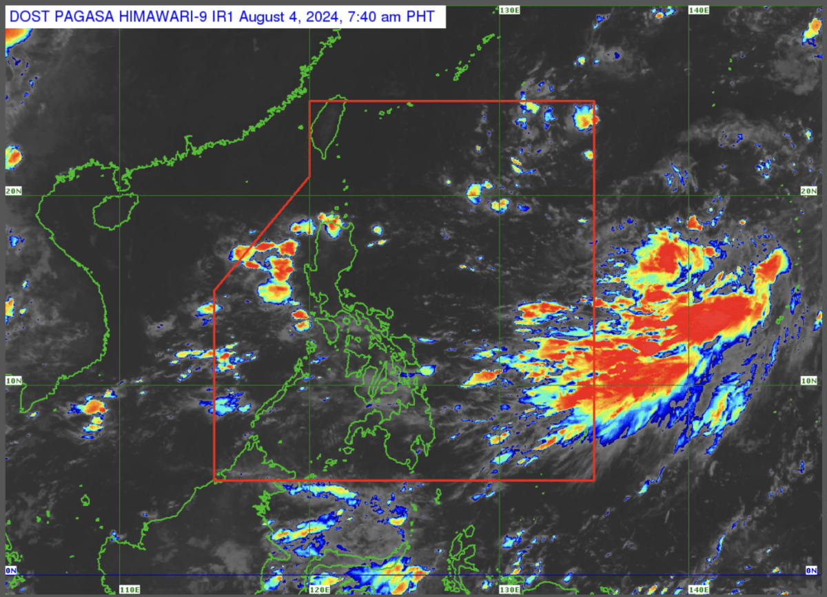
(Satellite photo courtesy of Pagasa)
MANILA, Philippines — The state weather agency monitored two low-pressure areas (LPAs) inside and outside the Philippine area of responsibility (PAR) early Monday morning.
In its latest forecast, the Philippine Atmospheric, Geophysical and Astronomical Services Administration (Pagasa) said the LPA inside PAR was last spotted some 1,155 kilometers (km) east northeast of Northern Luzon.
The other LPA outside PAR was 1,310 km east northeast of Extreme Northern Luzon.

READ: Pagasa: Cloud clusters outside PAR may become an LPA in the coming days
“We are not expecting these two LPAs to become typhoons, at least based on the last data we have gathered,” Pagasa weather specialist Obet Badrina reported.
He added that these LPAs have no direct effect on any part of the country at the moment but may develop into tropical cyclones.
“Based on the latest data, the chance of these two LPAs becoming typhoons is still relatively low,” Badrina said.
Meanwhile, the southwest monsoon, locally known as habagat, will continue to dump rain over parts of Visayas and Southern Luzon on Monday and in the next few days.
On the other hand, isolated rain showers and thunderstorms will prevail over the rest of the archipelago from afternoon until evening and possibly during dawn.
Pagasa did not raise a gale warning on the country’s seaboards.