pagasa.dost.gov.ph
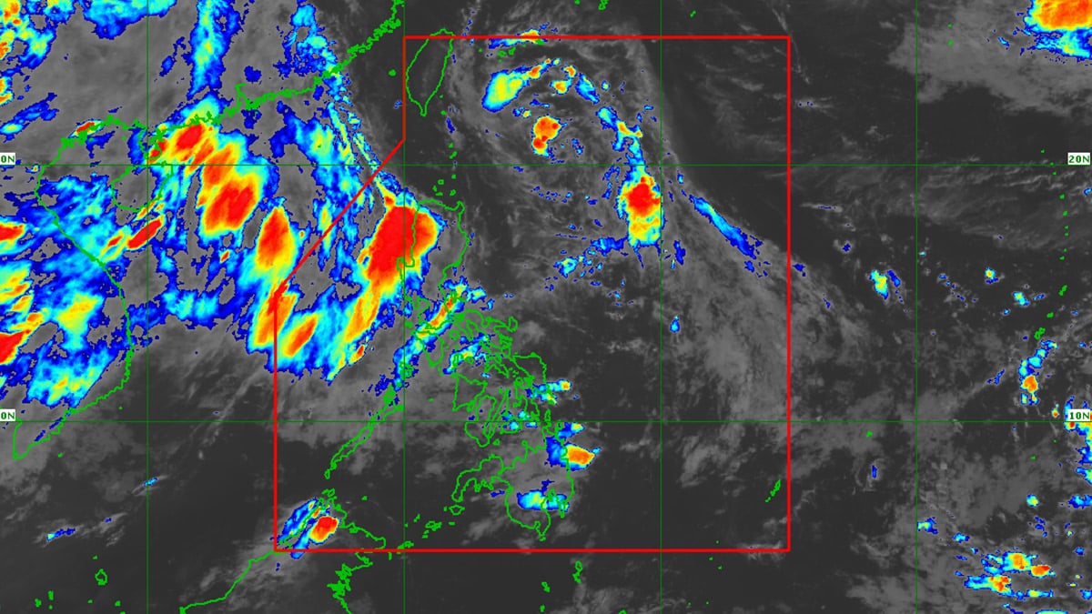
MANILA, Philippines — Weather bureau Pagasa (Philippine Atmospheric, Geophysical and Astronomical Services Administration) reported on Sunday that a low-pressure area (LPA) has been detected off the eastern coast of the country, prompting warnings of potential heavy rains and flooding in several regions.
As of 3 p.m., the LPA was located approximately 780 kilometers north-northeast of Catarman, Northern Samar, or 635 kilometers east of Aparri, Cagayan, according to Pagasa.
READ: Carina floods leave PH capital in state of calamity
“We’re not ruling out the possibility that this could become a storm, but for now, the chance of it developing into a tropical depression within the next 24 to 48 hours is low,” Pagasa weather specialist Ana Clauren-Jorda said during a 4 p.m. broadcast.
Clauren-Jorda said, “At present, the trough or extension of this LPA is causing cloudy skies with scattered light to moderate and occasionally heavy rains expected [on Sunday night] in parts of Aurora, Quezon, Bicol region, and parts of the Samar provinces.”
Southwest monsoon
“We advise our fellow citizens to be doubly careful due to the threat of flooding and landslides,” she said.
Meanwhile, the southwest monsoon, or “habagat,” continues to affect the western section of Luzon. This weather system is forecast to bring cloudy skies with scattered rains and thunderstorms to Metro Manila, the Ilocos region, Zambales, Bataan, Cavite, Laguna, Batangas, Occidental Mindoro and northern Palawan.
Moderate to heavy rains may trigger flash floods or landslides in these affected areas, Pagasa said.
The rest of the country can expect partly cloudy to cloudy skies with isolated rain showers or thunderstorms due to localized weather disturbances.