Pagasa weather satellite image
MANILA, Philippines — A low pressure area (LPA), a prevailing southwest monsoon, and localized thunderstorms will make cloudy skies and rains persist nationwide on Saturday.
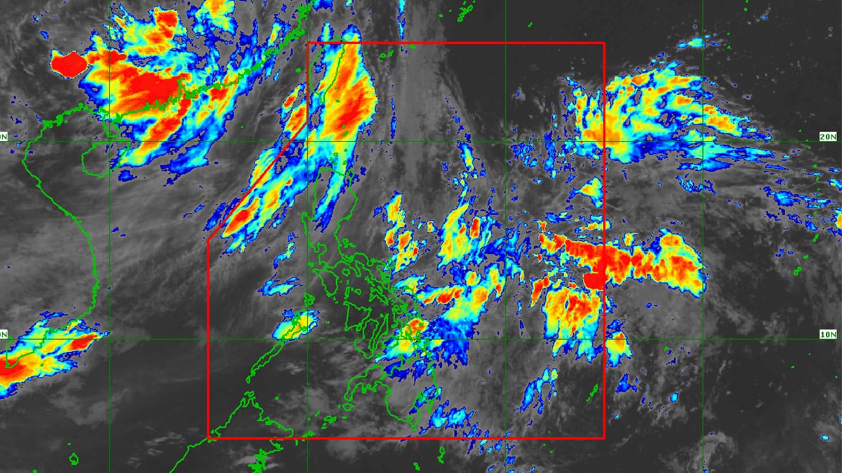
In an early Saturday morning advisory, the Philippine Atmospheric, Geophysical and Astronomical Services Administration (Pagasa) said the three weather systems will affect the three main regions of the country – Luzon, Visayas, and Mindanao.
Pagasa weather specialist Daniel James Villamil said the LPA within the Philippine area of responsibility (PAR) was last spotted 1,035 kilometers east of southeastern Mindanao.
Although it was far from the country’s landmass as it was already on its way out of the PAR, Villamil said the LPA’s trough or extension would cause cloudy skies with scattered rain showers and thunderstorms over Davao Oriental, Surigao del Norte, Surigao del Sur, Dinagat Islands, Leyte, Southern Leyte, and Eastern Samar.
“Nananatiling maliit ‘yung tyansa ng LPA na maging isang ganap na bagyo sa loob ng 24 to 48 hours,” Villamil also said.
(The chance of the LPA developing into a storm within the next 24 to 48 hours remains low.)
READ: 21 dead after Typhoon Carina pounds PH – PNP
Meanwhile, the southwest monsoon, locally termed habagat, would continue to influence weather conditions in portions of Luzon and Visayas.
According to the Pagasa expert, overcast skies with scattered rains and thunderstorms due to the southwest monsoon will occur in the Ilocos Region, Cordillera Administrative Region, Batanes, Babuyan Islands, Zambales, and Bataan on Saturday.
Metro Manila, the rest of Visayas, and the rest of Luzon will have slightly cloudy to cloudy skies with isolated rain showers or thunderstorms also due to the southwest monsoon.
READ: Central Luzon bears brunt of super typhoon Carina
Villamil added that for the rest of Mindanao, partly cloudy to cloudy skies with isolated rain showers or thunderstorms due to localized thunderstorms may be expected on Saturday.
On the country’s seaboards, Villamil said Pagasa kept its gale warning alert over the coasts of Batanes because of the southwest monsoon.
Villamil also said that waves along Batanes’ seaboard are forecast to reach 3.7 to 4.5 meters high on July 27.
“Katamtaman hanggang sa maalong karagatan naman ang mararanasan sa nalalabing bahagi ng ating bansa,” he added.
(The remaining parts of our country will experience moderate to rough seas.)