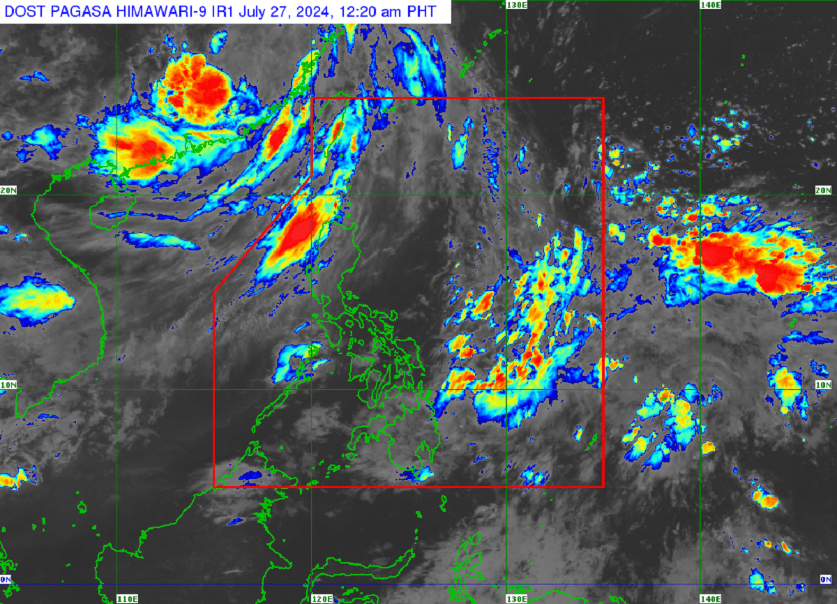

A low pressure area (LPA) east of Mindanao was detected within the Philippine area of responsibility (PAR) but the chances of it becoming a tropical cyclone remained “low,” the state weather bureau said on Friday.
In its 4 p.m. update, the Philippine Atmospheric, Geophysical and Astronomical Services Administration (Pagasa) said the LPA, located 900 kilometers east of southern Mindanao, was unlikely to intensify in the next 24 hours.
But Pagasa did not rule out the possibility of it developing into a tropical cyclone while still within PAR.
Pagasa classifies tropical cyclones into five levels of strength based on wind speed: a tropical depression would be the weakest (62 km per hour at maximum), while a supertyphoon is the strongest (at least 185 kph).
Typhoon “Carina” (international name: Gaemi) which peaked into a supertyphoon on Wednesday afternoon, would “dissipate in the next days” outside PAR after it hits land in China, the bureau said.
Rains still ahead
Carina-induced floods prompted officials to place Metro Manila and other parts of Luzon under a state of calamity.
READ: Lawmakers urged to prioritize funding of digital infrastructure projects
Pagasa said the southwest monsoon or habagat would still bring occasional rains over the provinces of Batanes, Zambales, Tarlac, Pampanga and Bataan, as well as over the Ilocos region, the Cordilleras and Babuyan Islands.
A gale warning was hoisted over the coastal waters of Batanes, northern coast of Cagayan, Ilocos Norte, Ilocos Sur, La Union and Pangasinan.
“We are reminding fisherfolk that it is still dangerous to sail in these areas,” the weather bureau said. —Kathleen de Villa