Photo from DOST-PAGASA/Facebook
MANILA, Philippines — Typhoon Carina (international name: Gaemi) exited the Philippine area of responsibility (PAR) Thursday morning, according to the Philippine Atmospheric, Geophysical and Astronomical Services Administration (Pagasa).
Pagasa weather specialist Samuel Duran told INQUIRER.net that the typhoon left PAR at 6:20 a.m.
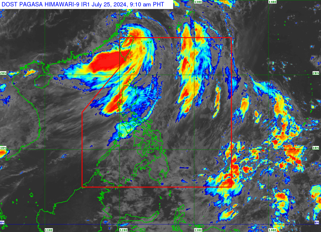
In its 5:00 a.m. bulletin, Pagasa reported that Carina was spotted some 465 kilometers north of Itbayat, Batanes, packing maximum sustained winds of 150 kilometers per hour (kph) near the center and gustiness of up to 185 kph.
Duran, however, said Batanes remains under Tropical Cyclone Wind Signal (TCWS) No. 1, where a 39 to 61 kph wind speed is expected, causing minimal to minor threat to life and property.
He added Carina is expected to continue enhancing the southwest monsoon, or “habagat” that will trigger heavy rainfall, particularly in the Ilocos region. However, reduced rainfall is anticipated in Metro Manila.
“Sa Metro Manila meron pa din pag-ulan. Sa Ilocos Region, medyo malakas po, kasi yung konsentrasyon ng habagat medyo tumaas po, papunta naman ng Ilocos region,” Duran said over the phone.
(Rain is still expected in Metro Manila. The rains in the Ilocos Region are a bit strong because the concentration of habagat is in the Ilocos region.)
“Dito sa Metro Manila mababawasan ang pag-ulan natin, pero meron pa din,” he added.
(Here in Metro Manila, the rainfall will be reduced.)
While not under any TCWS due to Carina, Metro Manila bore the brunt of the typhoon-enhanced “habagat.”
Many thoroughfares in Metro Manila were flooded and rendered impassable floods
Metro Manila is now under a state of calamity, which allows local governments to tap their calamity funds and enables the mechanism for price freeze in the region.