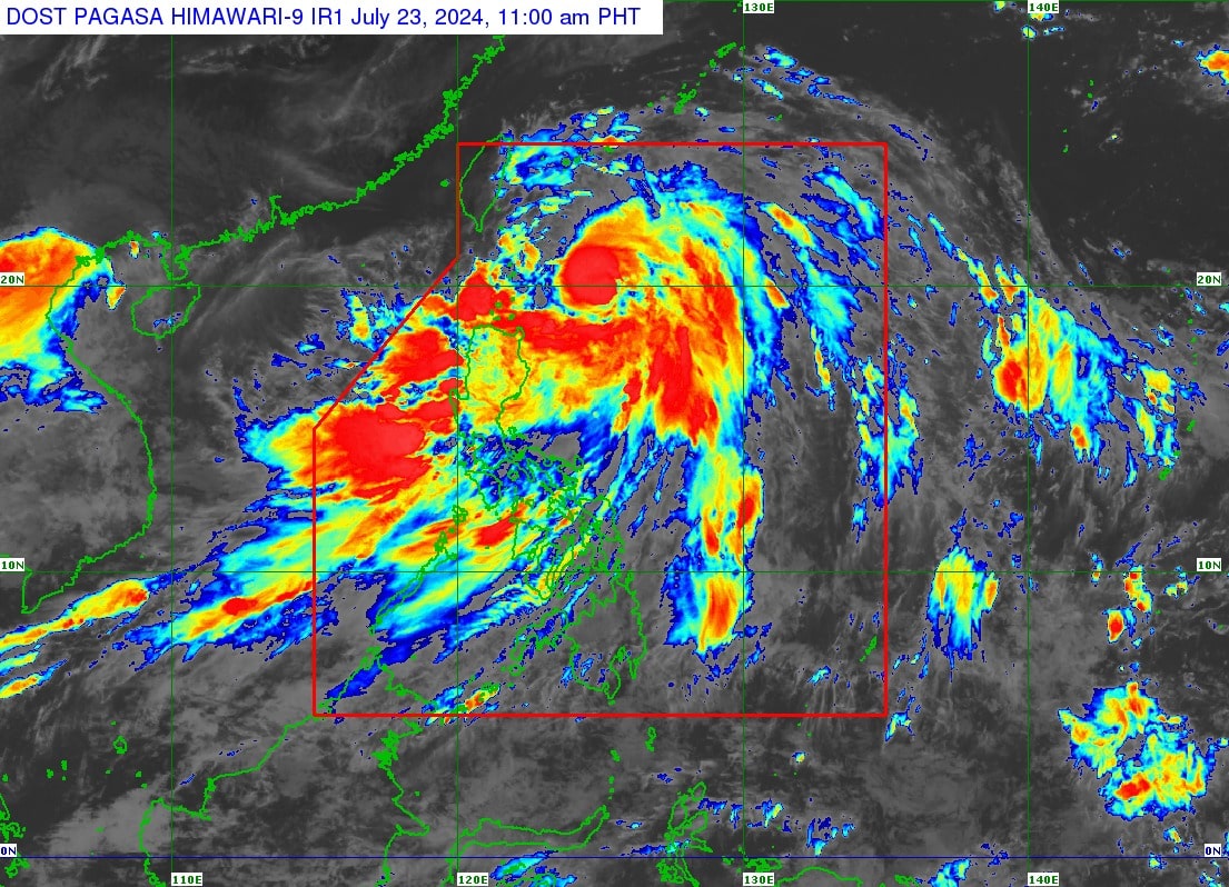
MANILA, Philippines — Tropical Cyclone Wind Signal No. 2 was raised over parts of Batanes as Typhoon Carina (International name: Gaemi) slightly intensified, the Philippine Atmospheric, Geophysical and Astronomical Services Administration (Pagasa) said on Tuesday.
In its 11:00 a.m. bulletin, Pagasa said Itbayat, Basco, Mahatao, Uyugan, and Ivana in Batanes are under Signal No. 2.
Meanwhile, Signal No. 1 was raised over the following areas:
-
The rest of Batanes (Sabtang)
-
Cagayan including Babuyan Islands
-
Eastern portion of Isabela (Divilacan, Palanan, Maconacon, Dinapigue, Tumauini, Ilagan City, San Mariano, Cabagan, San Pablo, Santa Maria)
- Northern portion of Apayao (Calanasan, Luna, Pudtol, Flora, Santa Marcela)
- Northern portion of Ilocos Norte (Pagudpud, Bangui, Adams, Dumalneg, Burgos, Vintar)
-
Northern portion of Aurora (Dilasag, Casiguran)
-
Polillo Islands
-
Calaguas Island
-
Northern portion of Catanduanes (Pandan, Bangamanoc, Panganiban, Viga, Gigmoto, Caramoran
Pagasa said Carina was last located 320 kilometers east of Basco, Batanes or 405 kilometers Northeast of Aparri, Cagayan. It had maximum sustained winds of 140 kilometers per hour and gustiness up to 170 km/h.
Carina is forecast to move northwestward on Tuesday before moving northwestward on Wednesday. It remains far from the landmass and is expected to exit the Philippine area of responsibility by Thursday, Pagasa added.
READ: Pagasa: Signal No. 1 in 10 areas as Typhoon Carina maintains strength
The state weather bureau also said the southwest monsoon, locally called habagat, is expected to bring moderate to intense rainfall over the western part of Luzon from Tuesday until Thursday.
A gale warning is in effect over the coastal waters of Batanes and Babuyan Islands.
